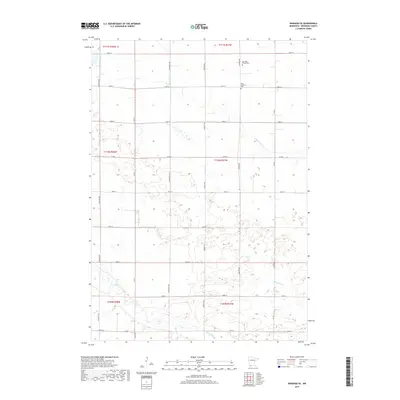
2019 Map of Wabasso SE
USGS Topo · Published 2019About this map
Cottonwood River meanders across the southern portion of this Redwood County landscape, joined by its tributaries Coal Mine Cr and Sleepy Eye Cr. The region is defined by a rigorous grid of section lines and gravel roads, including Harvest Ave and Co Rd 7, which divide the fertile Minnesota prairie into large agricultural tracts. This pattern of land use is interrupted only by the river valleys and small pockets of wetlands. For those tracing local family history, the map preserves the location of small, rural burial sites such as the Saint Matthews Cem and the Schwahn Family Plot Cem. These features, along with the numerous farmsteads connected by thoroughfares like 200TH St and Frontier Ave, reflect the enduring rural character of southwestern Minnesota in the early twenty-first century.
Find a feature on this map
27 named features on this map. Tap any name to fly to it.
Don’t see what you’re looking for? This feature index may not catch every label — zoom into the map to look around manually.
Map Details
Editions of this 2019 Wabasso SE Map
This is the sole edition of this map. No revisions or reprints were ever made.
Other maps of this area

1953 · New Ulm
USGS Topo · 1:250,000

1957 · New Ulm
USGS Topo · 1:250,000

1958 · New Ulm
USGS Topo · 1:250,000

1967 · New Ulm
USGS Topo · 1:250,000

1967 · Wanda
USGS Topo · 1:24,000

1967 · Sanborn
USGS Topo · 1:24,000

1967 · Wabasso SE
USGS Topo · 1:24,000

1967 · Wabasso
USGS Topo · 1:24,000

1967 · Walnut Grove
USGS Topo · 1:24,000

1967 · Rowena
USGS Topo · 1:24,000