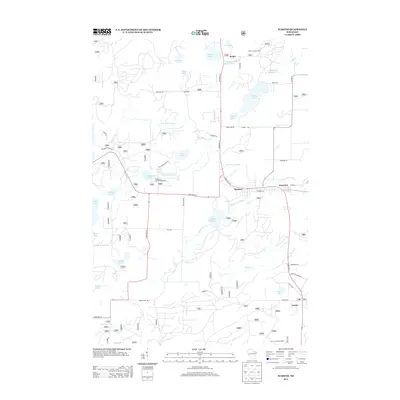
2013 Map of Wabeno
USGS Topo · Published 2013About this map
Wabeno and its neighbor Soperton sit as the primary hubs in this part of Forest County, where the north-central Wisconsin landscape is defined by an intricate network of glacial lakes and river branches. The N Br Oconto River winds through the center of the area, connecting several small water bodies including Trump Lake, Eugene Lake, and Richardson Lake. The presence of the Richardson Lake Campground and the Padus Lookout Tower to the north reflects the region's long-standing character as a center for timber management and outdoor recreation.
Find a feature on this map
56 named features on this map. Tap any name to fly to it.
Don’t see what you’re looking for? This feature index may not catch every label — zoom into the map to look around manually.
Map Details
Editions of this 2013 Wabeno Map
This is the sole edition of this map. No revisions or reprints were ever made.
Other maps of this area

1939 · Crandon
USGS Topo · 1:48,000

1939 · Laona
USGS Topo · 1:48,000

1941 · Crandon
USGS Topo · 1:48,000

1942 · Wabeno
USGS Topo · 1:48,000

1942 · Pearson
USGS Topo · 1:48,000

1946 · Laona
USGS Topo · 1:48,000

1947 · Crandon
USGS Topo · 1:48,000

1950 · Wabeno
USGS Topo · 1:48,000

1950 · Lily
USGS Topo · 1:48,000

1951 · Wabeno
USGS Topo · 1:48,000