2022 Map of Wabeno
USGS Topo · Published 2022About this map
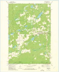
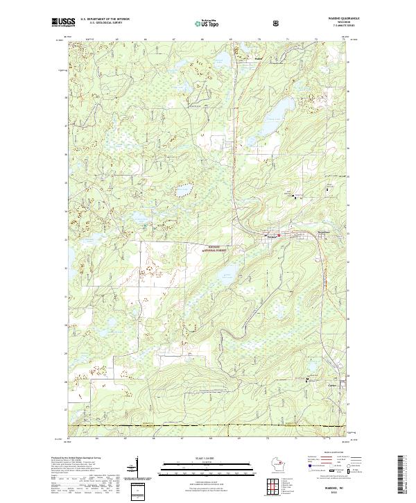
Wabeno and the neighboring settlement of Soperton serve as central points in this portion of the Nicolet National Forest. The landscape is defined by the N Br Oconto River and an extensive network of glacial lakes including Trump Lake, Richardson Lake, and Range Line Lake. The region’s development is closely tied to its natural resources and transportation routes, visible through the Nicolet State Trl and various forest roads like Bushafer Road. For genealogists, the map identifies several local burial sites such as Saint Ambrose Cem, Trinity Cem, and Forest Hill Cem near the town centers. To the south, the community of Carter sits near the Oconto Co line, flanked by Roseland Cem and Lakeview Cem, illustrating the distributed nature of early timber-era settlements across Forest Co.
Find a feature on this map
53 named features on this map. Tap any name to fly to it.
Don’t see what you’re looking for? This feature index may not catch every label — zoom into the map to look around manually.
Map Details
Editions of this 2022 Wabeno Map
This is the sole edition of this map. No revisions or reprints were ever made.
Historical Maps of Laona Through Time
6 maps found