
1955 Map of Waccasassa Bay
USGS Topo · Published 1956About this map
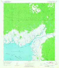
Gulf Hammock dominates the landscape of this 1955 survey, where the dense coastal wetlands of Levy County meet the brackish waters of Waccasassa Bay. The interior is characterized by a complex network of slow-moving water bodies like Cabbage Slough and Chicken Slough, alongside the meandering courses of the Waccasassa River and Wekiva River. This mid-century view shows the area as a largely wilderness terrain punctuated by isolated outposts such as Camp D, Camp E, and Williams Camp, which likely served the local logging or hunting communities of the era.
Find a feature on this map
43 named features on this map. Tap any name to fly to it.
Don’t see what you’re looking for? This feature index may not catch every label — zoom into the map to look around manually.
Map Details
Editions of this 1955 Waccasassa Bay Map
4 editions found
Other maps of this area

1954 · Otter Creek
USGS Topo · 1:24,000

1954 · Chiefland SW
USGS Topo · 1:24,000

1954 · Bronson SW
USGS Topo · 1:24,000

1954 · Gainesville
USGS Topo · 1:250,000

1955 · Lebanon Station
USGS Topo · 1:24,000

1955 · Withlacoochee Bay
USGS Topo · 1:24,000

1955 · Yankeetown
USGS Topo · 1:24,000

1955 · Sumner
USGS Topo · 1:24,000

1958 · Gainesville
USGS Topo · 1:250,000

1959 · Gainesville
USGS Topo · 1:250,000