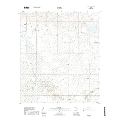
2018 Map of Wacissa
USGS Topo · Published 2018About this map
Wacissa serves as the primary focal point of this northern Florida landscape, characterized by the intricate transition between the upland terrain of Jefferson County and the expansive wet lowlands to the south. The settlement's position near the headwaters of the Wacissa River highlights the historical importance of freshwater springs and river systems in shaping local habitation and agriculture. Beyond the immediate cluster of the town, the map documents a terrain defined by subtle elevation changes and the extensive wetlands that drain toward the Gulf, illustrating the natural hydrological patterns that have historically dictated road placement and land use in this part of the Florida Panhandle.
Find a feature on this map
1 named feature on this map. Tap any name to fly to it.
Don’t see what you’re looking for? This feature index may not catch every label — zoom into the map to look around manually.
Map Details
Editions of this 2018 Wacissa Map
This is the sole edition of this map. No revisions or reprints were ever made.
Other maps of this area

1954 · Johnson Hammock
USGS Topo · 1:24,000

1954 · Lloyd
USGS Topo · 1:24,000

1954 · Cody
USGS Topo · 1:24,000

1954 · St. Marks NE
USGS Topo · 1:24,000

1954 · Valdosta
USGS Topo · 1:250,000

1954 · Tallahassee
USGS Topo · 1:250,000

1955 · Lamont
USGS Topo · 1:24,000

1955 · Waukeenah
USGS Topo · 1:24,000

1955 · Nutall Rise
USGS Topo · 1:24,000

1955 · Lamont SE
USGS Topo · 1:24,000