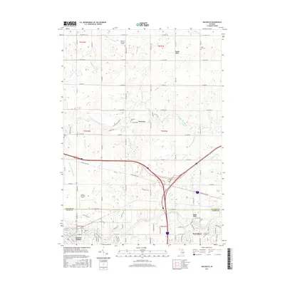
2017 Map of Wacousta
USGS Topo · Published 2017About this map
The Looking Glass River and Grand River converge as they move west across this mid-Michigan landscape, defining the transition between the agricultural plains of South Riley and the developing outskirts of Grand Ledge. This 2017 survey reveals a network of water management features, including the Westphalia and Riley Drain and Shadduck Drain, which illustrate the long-term engineering required to maintain the region's productive farmland. The area serves as a significant educational and transportation hub, anchored by the Great Lakes Christian College and aviation facilities like Abrams Municipal Airport. Genealogists will find a concentration of historic burial grounds scattered across the county line between Clinton and Eaton counties, from the Wacousta Cemetery near the riverbanks to the more secluded Niles Cemetery.
Find a feature on this map
107 named features on this map. Tap any name to fly to it.
Don’t see what you’re looking for? This feature index may not catch every label — zoom into the map to look around manually.
Map Details
Editions of this 2017 Wacousta Map
This is the sole edition of this map. No revisions or reprints were ever made.
Other maps of this area

1910 · Lansing
USGS Topo · 1:62,500

1912 · Lansing
USGS Topo · 1:62,500

1927 · De Witt
USGS Topo · 1:62,500

1945 · Portland
USGS Topo · 1:62,500

1949 · Charlotte
USGS Topo · 1:62,500

1958 · Grand Rapids
USGS Topo · 1:250,000

1961 · Grand Rapids
USGS Topo · 1:250,000

1962 · Grand Rapids
USGS Topo · 1:250,000
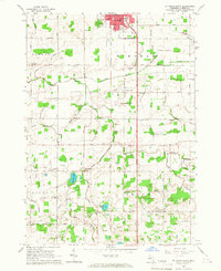
1965 · St. Johns South
USGS Topo · 1:24,000
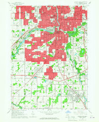
1965 · Lansing South
USGS Topo · 1:24,000