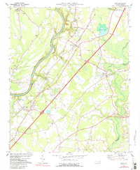
1974 Map of Wade
USGS Topo · Published 1988About this map
The Cape Fear River serves as a dominant geographical boundary on this sheet, winding through the western portion of the quadrangle while the South River and Black River define the eastern drainages. This mid-1970s landscape shows the early impact of the 4 Lane highway system (Interstate 95) as it cuts through the rural terrain, creating a modern contrast to the established agricultural and religious centers of the community. Local history is anchored at the Averasboro Battleground Monument, while the Seaboard Coast Line railroad continues to connect the towns of Wade and Godwin.
Find a feature on this map
40 named features on this map. Tap any name to fly to it.
Don’t see what you’re looking for? This feature index may not catch every label — zoom into the map to look around manually.
Map Details
Editions of this 1974 Wade Map
2 editions found
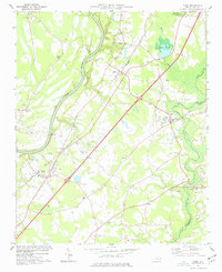
Other maps of this area

1948 · Fayetteville
USGS Topo · 1:62,500

1948 · Slocomb
USGS Topo · 1:24,000

1949 · Vander
USGS Topo · 1:24,000

1950 · Slocomb
USGS Topo · 1:24,000

1953 · Raleigh
USGS Topo · 1:250,000

1954 · Raleigh
USGS Topo · 1:250,000

1956 · Bunnlevel
USGS Topo · 1:24,000

1957 · Vander
USGS Topo · 1:24,000

1957 · Fayetteville
USGS Topo · 1:62,500

1973 · Dunn
USGS Topo · 1:24,000