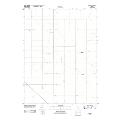
2010 Map of Wadena
USGS Topo · Published 2010About this map
The agrarian landscape of Benton County is defined here by a precise grid of rural roads and an extensive network of managed waterways. In this 2010 survey, the small community of Wadena stands at the intersection of East 600 North and North 200 East, while Lochiel is situated further south along the same corridor. The county seat, Fowler, occupies the southern margin, providing a contrast to the surrounding open fields.
Find a feature on this map
40 named features on this map. Tap any name to fly to it.
Don’t see what you’re looking for? This feature index may not catch every label — zoom into the map to look around manually.
Map Details
Editions of this 2010 Wadena Map
This is the sole edition of this map. No revisions or reprints were ever made.
Other maps of this area

1953 · Danville
USGS Topo · 1:250,000

1955 · Danville
USGS Topo · 1:250,000

1956 · Danville
USGS Topo · 1:250,000

1961 · Kentland
USGS Topo · 1:24,000

1962 · Mount Gilboa
USGS Topo · 1:24,000

1962 · Wadena
USGS Topo · 1:24,000

1962 · Templeton
USGS Topo · 1:24,000

1962 · Boswell
USGS Topo · 1:24,000

1962 · Goodland
USGS Topo · 1:24,000

1962 · Earl Park
USGS Topo · 1:24,000