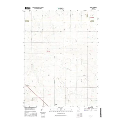
2016 Map of Wadena
USGS Topo · Published 2016About this map
Wadena and Lochiel anchor this agricultural landscape in northwestern Indiana, where the terrain is meticulously managed by a network of drainage systems. The map reveals the intersection of three counties—Benton, Newton, and Jasper—defined by a grid of rural roads and section lines. Notable water features such as Upper Sugar Cr, Carpenter Cr, and Pine Cr Ditch illustrate the region's reliance on managed waterways to support its expansive farmland.
Find a feature on this map
37 named features on this map. Tap any name to fly to it.
Don’t see what you’re looking for? This feature index may not catch every label — zoom into the map to look around manually.
Map Details
Editions of this 2016 Wadena Map
This is the sole edition of this map. No revisions or reprints were ever made.
Other maps of this area

1953 · Danville
USGS Topo · 1:250,000

1955 · Danville
USGS Topo · 1:250,000

1956 · Danville
USGS Topo · 1:250,000

1961 · Kentland
USGS Topo · 1:24,000

1962 · Mount Gilboa
USGS Topo · 1:24,000

1962 · Wadena
USGS Topo · 1:24,000

1962 · Templeton
USGS Topo · 1:24,000

1962 · Boswell
USGS Topo · 1:24,000

1962 · Goodland
USGS Topo · 1:24,000

1962 · Earl Park
USGS Topo · 1:24,000