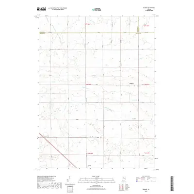
2019 Map of Wadena
USGS Topo · Published 2019About this map
Benton County agricultural lands are defined by a sophisticated network of drainage and creek systems in this 2019 study. The small community of Wadena sits near the headwaters of the Pine Cr Ditch, while the settlement of Lochiel is situated to the south. The landscape is characterized by its geometric road grid, including Co RD 900 N and Co RD 300 E, which navigate a terrain carved by waterways like Sugar Cr and Upper Sugar Cr.
Find a feature on this map
50 named features on this map. Tap any name to fly to it.
Don’t see what you’re looking for? This feature index may not catch every label — zoom into the map to look around manually.
Map Details
Editions of this 2019 Wadena Map
This is the sole edition of this map. No revisions or reprints were ever made.
Other maps of this area

1953 · Danville
USGS Topo · 1:250,000

1955 · Danville
USGS Topo · 1:250,000

1956 · Danville
USGS Topo · 1:250,000

1961 · Kentland
USGS Topo · 1:24,000

1962 · Mount Gilboa
USGS Topo · 1:24,000

1962 · Wadena
USGS Topo · 1:24,000

1962 · Templeton
USGS Topo · 1:24,000

1962 · Boswell
USGS Topo · 1:24,000

1962 · Goodland
USGS Topo · 1:24,000

1962 · Earl Park
USGS Topo · 1:24,000