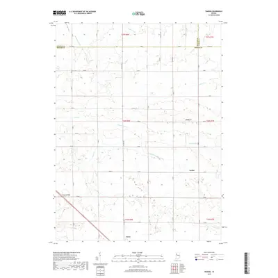
1962 Map of Wadena
USGS Topo · Published 1981About this map
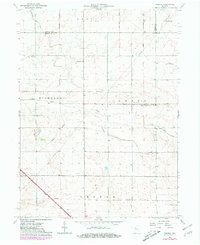
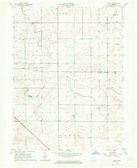
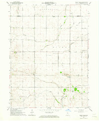
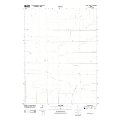
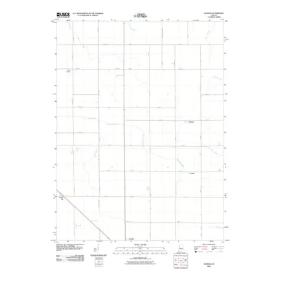
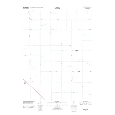
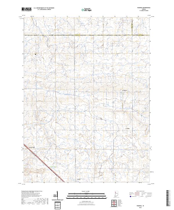
Wadena and Lochiel anchor this agricultural landscape in Benton County, where the transition from rail-dependent commerce to modern transportation is clearly visible. The survey captures the Old Railroad Grade running north toward the Newton County line, while Conrail maintains a presence near Gravel Hill. This area is defined by its drainage and irrigation network, featuring the winding paths of Sugar Creek and Upper Sugar Creek alongside engineered improvements like Big Pine Creek Ditch and Owens Ditch. Local history is preserved in the location of the Dehner Cem and the former Township Sch, marking the social centers of these small prairie communities. A unique addition to this edition is the inclusion of photogrammetric data showing selected fence and field lines, providing a rare look at the exact boundaries of mid-century Indiana farms.
Find a feature on this map
21 named features on this map. Tap any name to fly to it.
Don’t see what you’re looking for? This feature index may not catch every label — zoom into the map to look around manually.
Map Details
Editions of this 1962 Wadena Map
2 editions found
Historical Maps of Fowler Through Time
12 maps found
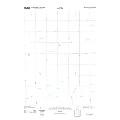
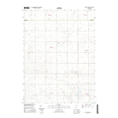
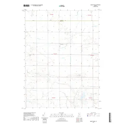
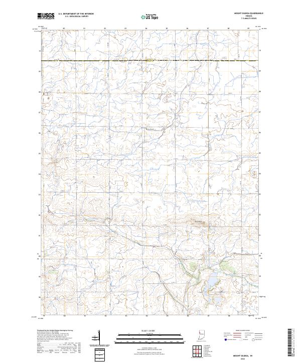
1962 Mount Gilboa
Benton County, IN
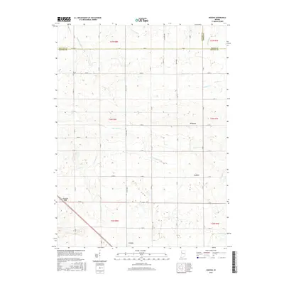
1962 Wadena
Benton County, IN
2010 Mount Gilboa
Benton County, IN
2010 Wadena
Benton County, IN
2013 Mount Gilboa
Benton County, IN
2013 Wadena
Benton County, IN
2016 Mount Gilboa
Benton County, IN
2016 Wadena
Benton County, IN
2019 Mount Gilboa
Benton County, IN
2019 Wadena
Benton County, IN
2022 Mount Gilboa
Benton County, IN
2022 Wadena
Benton County, IN