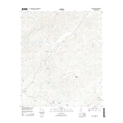
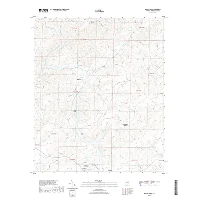
2024 Map of Wadley North
USGS Topo · Published 2024About this map
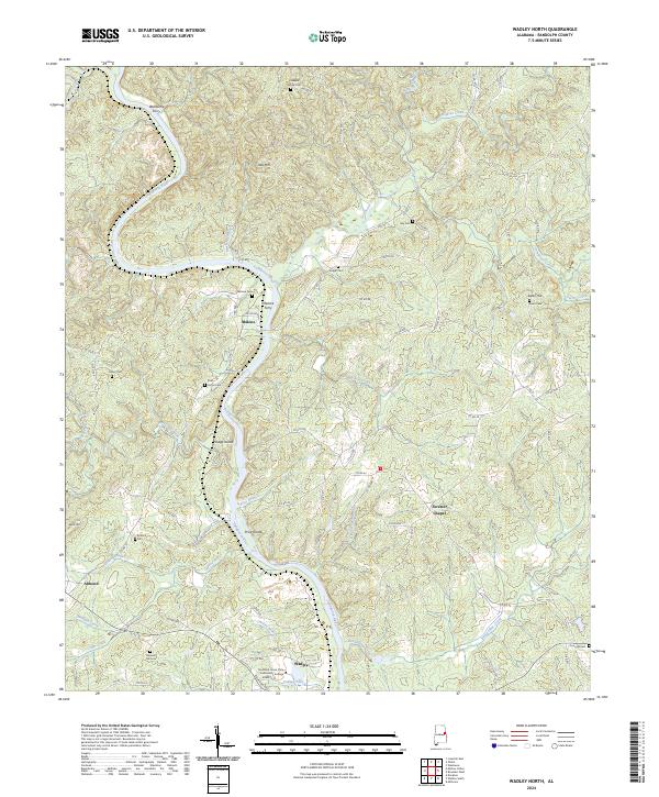
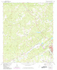
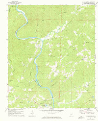
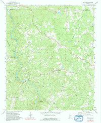
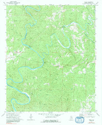
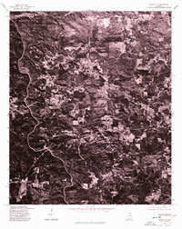
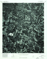
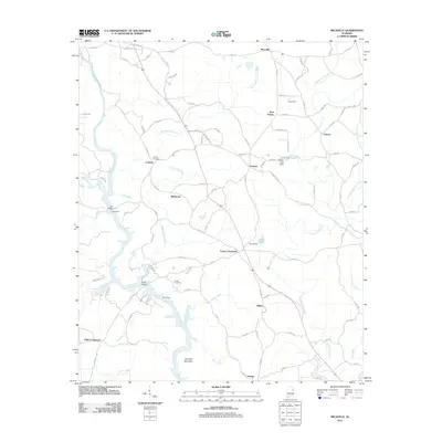
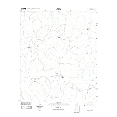
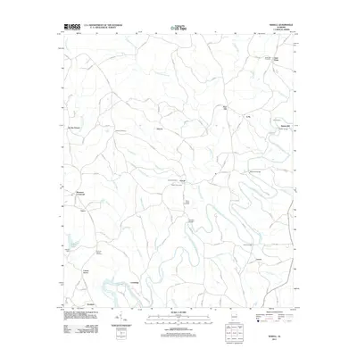
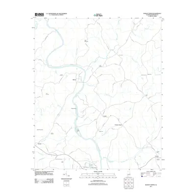
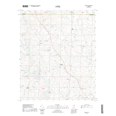
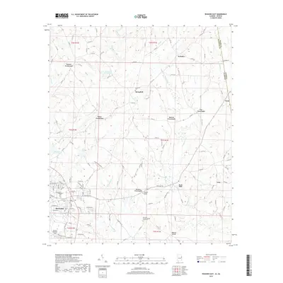
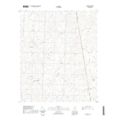
The Tallapoosa River winds through this section of Randolph County, defining a landscape of sharp bends and river islands like Price Island and Hodge Island. Near the southern border, the town of Wadley serves as a local hub, anchored by the campus of Southern Union State Community College and College Lake. The river's historical importance for transit is evidenced by crossings such as Wellborne Ferry in the north and Malone Ferry near the settlement of Malone. Family and community history is preserved across several small burial grounds, including Knight Cem, Gay Cem, and Fisher Cem, while Forester Chapel stands as a landmark in the central-east. The terrain is marked by distinct peaks such as Oak Mtn and Buck Mtn, providing a topographic framework for the numerous named branches and creeks that feed into the Tallapoosa watershed.
Find a feature on this map
97 named features on this map. Tap any name to fly to it.
Don’t see what you’re looking for? This feature index may not catch every label — zoom into the map to look around manually.
Map Details
Editions of this 2024 Wadley North Map
This is the sole edition of this map. No revisions or reprints were ever made.
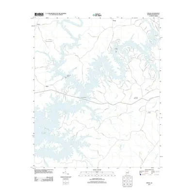
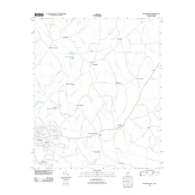
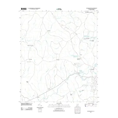
Historical Maps of Wadley Through Time
44 maps found
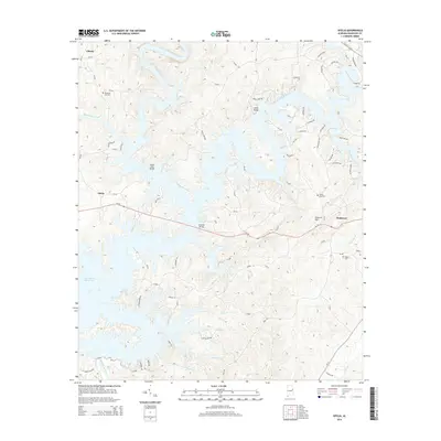
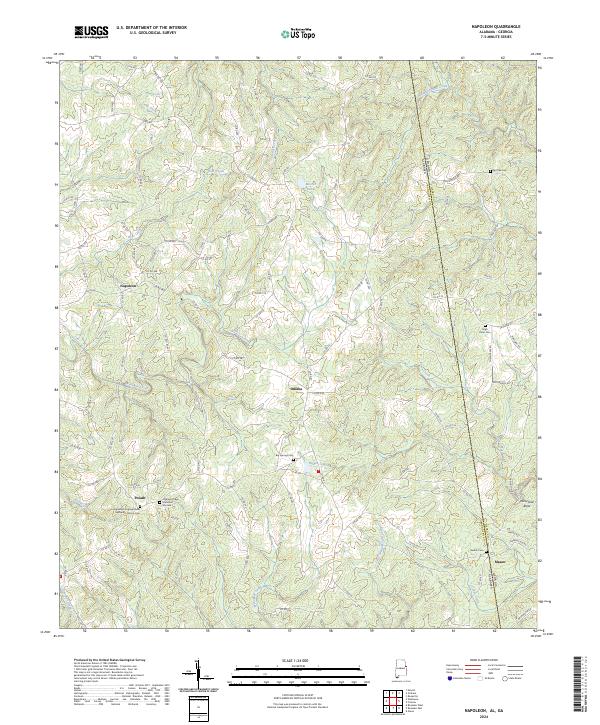
1969 Napoleon
Randolph County, AL
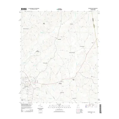
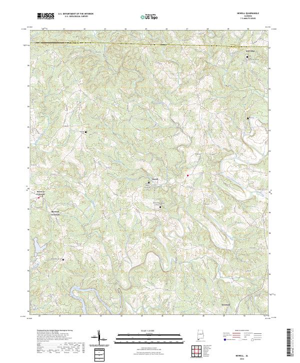
1969 Newell
Randolph County, AL
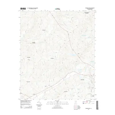
1969 Roanoke East
Randolph County, AL
1969 Roanoke West
Randolph County, AL
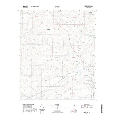
1969 Wadley North
Randolph County, AL
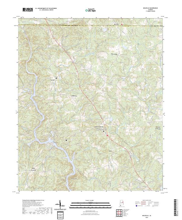
1970 Micaville
Randolph County, AL
1970 Ofelia
Randolph County, AL
1975 Micaville
Randolph County, AL
1975 Newell
Randolph County, AL
2011 Micaville
Randolph County, AL
2011 Napoleon
Randolph County, AL
2011 Newell
Randolph County, AL
2011 Ofelia
Randolph County, AL
2011 Roanoke East
Randolph County, AL
2011 Roanoke West
Randolph County, AL
2011 Wadley North
Randolph County, AL
2014 Micaville
Randolph County, AL
2014 Napoleon
Randolph County, AL
2014 Newell
Randolph County, AL
2014 Ofelia
Randolph County, AL
2014 Roanoke East
Randolph County, AL
2014 Roanoke West
Randolph County, AL
2014 Wadley North
Randolph County, AL
2018 Micaville
Randolph County, AL
2018 Napoleon
Randolph County, AL
2018 Newell
Randolph County, AL
2018 Ofelia
Randolph County, AL
2018 Roanoke East
Randolph County, AL
2018 Roanoke West
Randolph County, AL
2018 Wadley North
Randolph County, AL
2020 Micaville
Randolph County, AL
2020 Napoleon
Randolph County, AL
2020 Newell
Randolph County, AL
2020 Ofelia
Randolph County, AL
2020 Roanoke East
Randolph County, AL
2020 Roanoke West
Randolph County, AL
2020 Wadley North
Randolph County, AL
2024 Micaville
Randolph County, AL
2024 Napoleon
Randolph County, AL
2024 Newell
Randolph County, AL
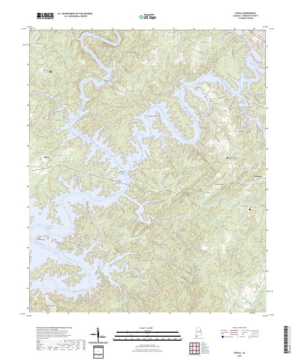
2024 Ofelia
Randolph County, AL
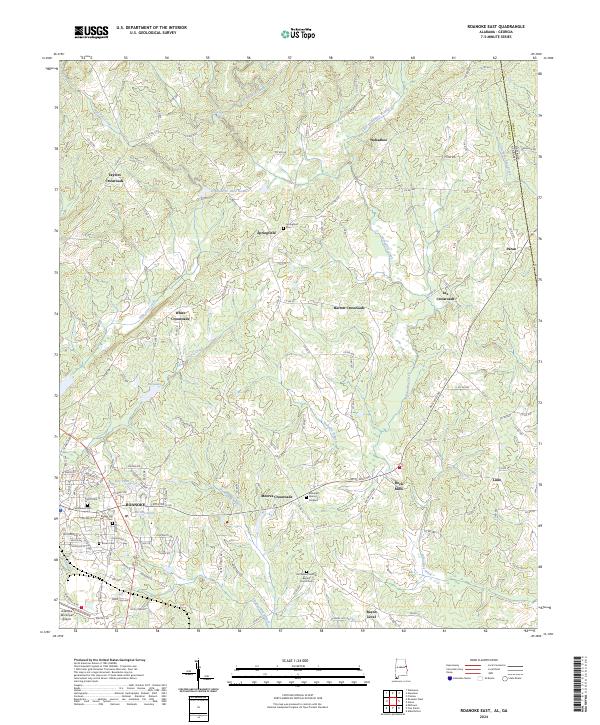
2024 Roanoke East
Randolph County, AL
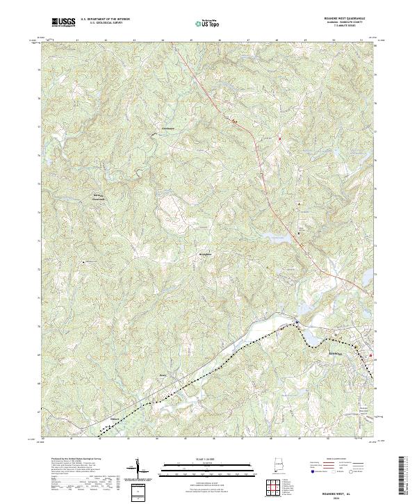
2024 Roanoke West
Randolph County, AL
2024 Wadley North
Randolph County, AL