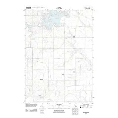
2011 Map of Wagarville
USGS Topo · Published 2011About this map
Lake Lancer and its surrounding finger-like lagoons anchor the northern reach of this landscape, a testament to modern water management and community planning in Gladwin County. These waters, including the nearby Grass Lake and the isolated Lake Lochbrae, reflect a transition from the traditional rural layout of the southern townships to a more concentrated recreational and residential core. The Sugar River winds through the eastern half of the map, passing by the small cluster at Sugar Rapids and through the community of Hockaday.
Find a feature on this map
72 named features on this map. Tap any name to fly to it.
Don’t see what you’re looking for? This feature index may not catch every label — zoom into the map to look around manually.
Map Details
Editions of this 2011 Wagarville Map
This is the sole edition of this map. No revisions or reprints were ever made.
Other maps of this area

1954 · Traverse City
USGS Topo · 1:250,000

1954 · Midland
USGS Topo · 1:250,000

1958 · Traverse City
USGS Topo · 1:250,000

1958 · Midland
USGS Topo · 1:250,000

1959 · Midland
USGS Topo · 1:250,000

1966 · Midland
USGS Topo · 1:250,000

1969 · Meredith
USGS Topo · 1:24,000

1969 · Edwards
USGS Topo · 1:24,000

1969 · Butman
USGS Topo · 1:24,000

1969 · Wagarville
USGS Topo · 1:24,000