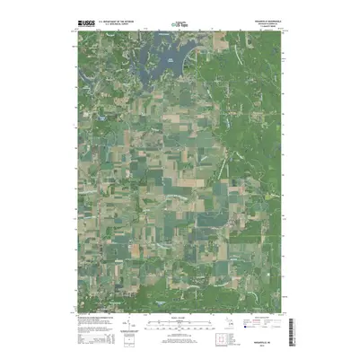
2014 Map of Wagarville
USGS Topo · Published 2014About this map
Sugar River and the West Branch Tittabawassee River carve through this section of Gladwin County, defining a landscape shaped by both natural waterways and modern residential developments. The northern portion of the map is dominated by the sprawling shorelines of Lake Lancer and Lake Lancelot, where a dense network of residential streets like Berkshire Dr and Kings Way suggests a community focused on lakeside living.
Find a feature on this map
95 named features on this map. Tap any name to fly to it.
Don’t see what you’re looking for? This feature index may not catch every label — zoom into the map to look around manually.
Map Details
Editions of this 2014 Wagarville Map
This is the sole edition of this map. No revisions or reprints were ever made.
Other maps of this area

1954 · Traverse City
USGS Topo · 1:250,000

1954 · Midland
USGS Topo · 1:250,000

1958 · Traverse City
USGS Topo · 1:250,000

1958 · Midland
USGS Topo · 1:250,000

1959 · Midland
USGS Topo · 1:250,000

1966 · Midland
USGS Topo · 1:250,000

1969 · Meredith
USGS Topo · 1:24,000

1969 · Edwards
USGS Topo · 1:24,000

1969 · Butman
USGS Topo · 1:24,000

1969 · Wagarville
USGS Topo · 1:24,000