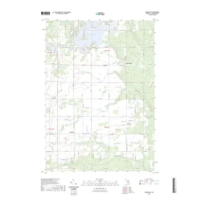
2023 Map of Wagarville
USGS Topo · Published 2023About this map
Lake Lancer and Lake Lancelot dominate the northern landscape of this Gladwin County survey, where residential developments like Lake Lochbrae meet the traditional rural character of mid-Michigan. The map documents a transition from the water-rich residential areas in the north to the agrarian and creek-fed plains of the south. Local history is centered around small crossroads settlements including Wagarville and McClure, where the McClure Cem and Sacred Heart Ch serve as enduring community landmarks. The drainage network is particularly dense, with the Sugar River and West Branch Tittabawassee River cutting through the terrain alongside numerous man-made features like Shell Drain and Weir Drain. This detail provides researchers with a clear view of how water management and lakeside living have shaped the modern geography of the area.
Find a feature on this map
99 named features on this map. Tap any name to fly to it.
Don’t see what you’re looking for? This feature index may not catch every label — zoom into the map to look around manually.
Map Details
Editions of this 2023 Wagarville Map
This is the sole edition of this map. No revisions or reprints were ever made.
Other maps of this area

1954 · Traverse City
USGS Topo · 1:250,000

1954 · Midland
USGS Topo · 1:250,000

1958 · Traverse City
USGS Topo · 1:250,000

1958 · Midland
USGS Topo · 1:250,000

1959 · Midland
USGS Topo · 1:250,000

1966 · Midland
USGS Topo · 1:250,000

1969 · Meredith
USGS Topo · 1:24,000

1969 · Edwards
USGS Topo · 1:24,000

1969 · Butman
USGS Topo · 1:24,000

1969 · Wagarville
USGS Topo · 1:24,000