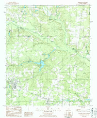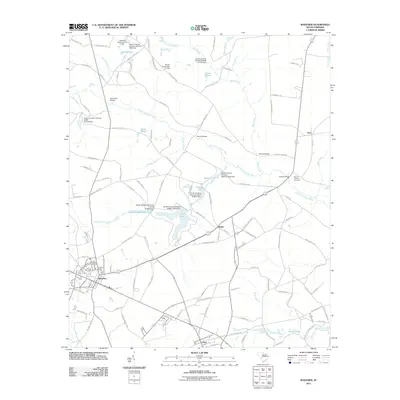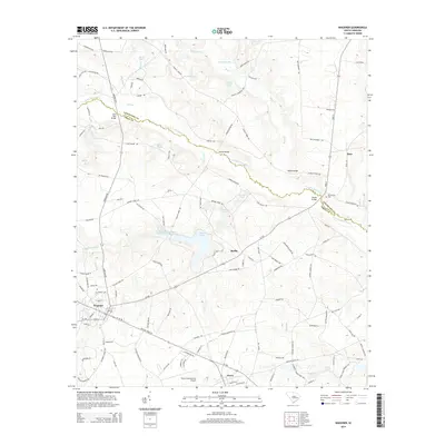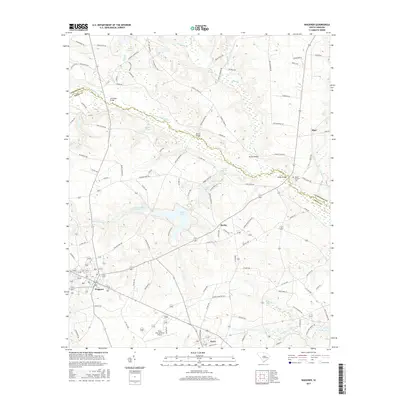
2024 Map of Wagener
USGS Topo · Published 2024About this map
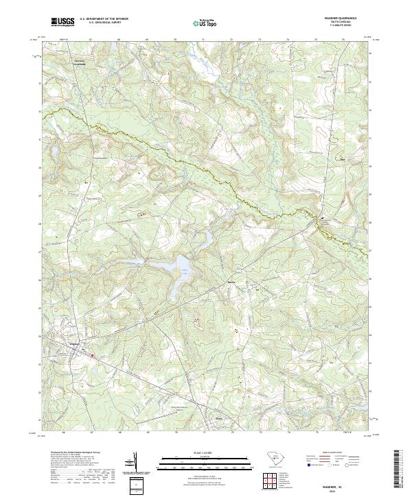
The North Fork Edisto River meanders across the center of this landscape, forming the natural boundary between Lexington and Aiken counties. To the south, the town of Wagener serves as a local hub, connected to the nearby settlements of Berlin and Perry by a network of rural roads such as Wagener Rd. This area of the South Carolina Midlands is defined by its water management and agricultural history, visible in the numerous impoundments like Edisto Lake and Collums Mill Pond Dam.
Find a feature on this map
142 named features on this map. Tap any name to fly to it.
Don’t see what you’re looking for? This feature index may not catch every label — zoom into the map to look around manually.
Map Details
Editions of this 2024 Wagener Map
This is the sole edition of this map. No revisions or reprints were ever made.
Historical Maps of Wagener Through Time
6 maps found