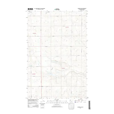
2013 Map of Wagner Lake
USGS Topo · Published 2013About this map
Wilbur sits at the northern edge of this high plateau in Lincoln County, where the transition from town life to the rolling agricultural landscape is marked by the Wilbur Airport. The terrain south of town is defined by a series of intermittent drainages and localized basins, including the waters of Wagner Lake, O'Brien Lake, and H Lake. These seasonal water bodies are linked by the winding path of Sinking Cr, illustrating the unique hydrology of this semi-arid region.
Find a feature on this map
29 named features on this map. Tap any name to fly to it.
Don’t see what you’re looking for? This feature index may not catch every label — zoom into the map to look around manually.
Map Details
Editions of this 2013 Wagner Lake Map
This is the sole edition of this map. No revisions or reprints were ever made.
Other maps of this area

1948 · Grand Coulee Dam
USGS Topo · 1:62,500

1948 · Wilbur
USGS Topo · 1:62,500

1950 · Wilbur
USGS Topo · 1:62,500

1950 · Grand Coulee Dam
USGS Topo · 1:62,500

1953 · Ritzville
USGS Topo · 1:250,000

1959 · Ritzville
USGS Topo · 1:250,000

1965 · Ritzville
USGS Topo · 1:250,000

1969 · Almira SE
USGS Topo · 1:24,000

1969 · Govan
USGS Topo · 1:24,000

1969 · Creston Butte
USGS Topo · 1:24,000