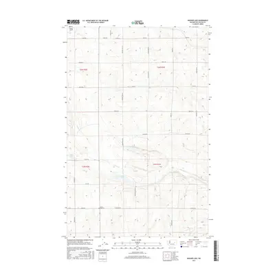
2017 Map of Wagner Lake
USGS Topo · Published 2017About this map
Wagner Lake and the intermittent flow of Sinking Cr dominate the central basin of this Lincoln County landscape. The terrain is defined by the high plateau of the Columbia Basin, where the drainage of Goose Cr and the waters of O'Brien Lake sit among a grid of long-established agricultural roads. Local history is anchored at the Wheat Ridge Cem, situated along Schuster Rd E. The map shows a transition from the higher wheat-growing benches to the lower coulees and sinks that characterize this region's geology. Evidence of modern infrastructure is visible at the Wilbur Airport in the northwest, while a network of rural routes like Haden Rd and Wagner Lake Rd N connects the scattered homesteads and farming operations of the northern sections.
Find a feature on this map
31 named features on this map. Tap any name to fly to it.
Don’t see what you’re looking for? This feature index may not catch every label — zoom into the map to look around manually.
Map Details
Editions of this 2017 Wagner Lake Map
This is the sole edition of this map. No revisions or reprints were ever made.
Other maps of this area

1948 · Grand Coulee Dam
USGS Topo · 1:62,500

1948 · Wilbur
USGS Topo · 1:62,500

1950 · Wilbur
USGS Topo · 1:62,500

1950 · Grand Coulee Dam
USGS Topo · 1:62,500

1953 · Ritzville
USGS Topo · 1:250,000

1959 · Ritzville
USGS Topo · 1:250,000

1965 · Ritzville
USGS Topo · 1:250,000

1969 · Almira SE
USGS Topo · 1:24,000

1969 · Govan
USGS Topo · 1:24,000

1969 · Creston Butte
USGS Topo · 1:24,000