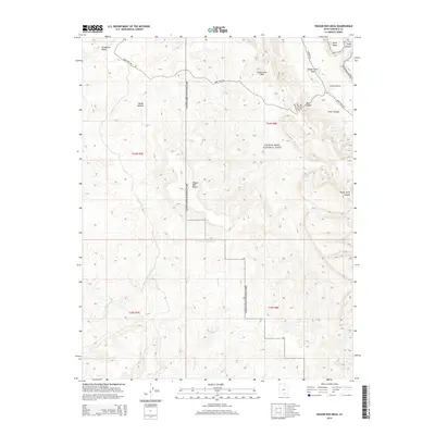
2014 Map of Wagon Box Mesa
USGS Topo · Published 2014About this map
Capitol Reef National Park dominates this 2014 survey, which highlights the striking geologic formations and remote access routes through Garfield County. The drainage network is clearly defined by Silver Falls Cr, Moody Cr, and Halls Cr, which have carved deep features like Death Hollow and Muley Twist Canyon into the plateau. The map details the path of the Burr Trail Rd as it winds past the Studhorse Peaks and descends toward Grand Gulch.
Find a feature on this map
23 named features on this map. Tap any name to fly to it.
Don’t see what you’re looking for? This feature index may not catch every label — zoom into the map to look around manually.
Map Details
Editions of this 2014 Wagon Box Mesa Map
This is the sole edition of this map. No revisions or reprints were ever made.
Other maps of this area

1886 · Escalante
USGS Topo · 1:250,000

1886 · Henry Mountains
USGS Topo · 1:250,000

1892 · Henry Mountains
USGS Topo · 1:250,000

1953 · Mt Pennell
USGS Topo · 1:62,500

1953 · Circle Cliffs 1 SE
USGS Topo · 1:24,000

1953 · Circle Cliffs 4 NW
USGS Topo · 1:24,000

1953 · Circle Cliffs 1 SW
USGS Topo · 1:24,000

1953 · Mt Pennell 3 NW
USGS Topo · 1:24,000
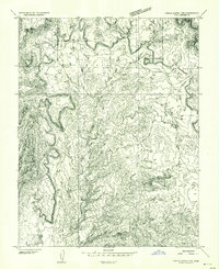
1953 · Circle Cliffs 1 NW
USGS Topo · 1:24,000
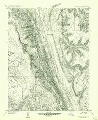
1953 · Circle Cliffs 1 NE
USGS Topo · 1:24,000