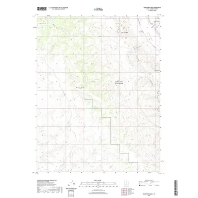
2020 Map of Wagon Box Mesa
USGS Topo · Published 2020About this map
Capitol Reef National Park occupies the central and eastern portions of this Garfield County landscape, highlighting a region defined by dramatic geologic formations and ancient travel corridors. The Burr Trail winds through the northern sections, passing beneath the Studhorse Peaks and over to Peak-a-boo Rock, following a route that has historically connected the high plateaus to the desert below. The massive Wagon Box Mesa dominates the western half of the map, shedding water into the Moody Creek and North Fork Silver Falls Creek drainages. To the east, the terrain drops sharply into the Waterpocket Fold, where the Oyster Shell Reef and the winding Lower Muley Twist canyon reveal the stark, folded layers of the earth. These remote canyons, including Grand Gulch and Swap Canyon, illustrate the complex drainage patterns feeding toward the Colorado River system.
Find a feature on this map
19 named features on this map. Tap any name to fly to it.
Don’t see what you’re looking for? This feature index may not catch every label — zoom into the map to look around manually.
Map Details
Editions of this 2020 Wagon Box Mesa Map
This is the sole edition of this map. No revisions or reprints were ever made.
Other maps of this area

1886 · Escalante
USGS Topo · 1:250,000

1886 · Henry Mountains
USGS Topo · 1:250,000

1892 · Henry Mountains
USGS Topo · 1:250,000

1953 · Mt Pennell
USGS Topo · 1:62,500

1953 · Circle Cliffs 1 SE
USGS Topo · 1:24,000

1953 · Circle Cliffs 4 NW
USGS Topo · 1:24,000

1953 · Circle Cliffs 1 SW
USGS Topo · 1:24,000

1953 · Mt Pennell 3 NW
USGS Topo · 1:24,000
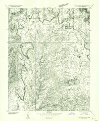
1953 · Circle Cliffs 1 NW
USGS Topo · 1:24,000
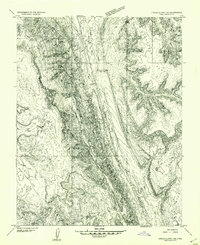
1953 · Circle Cliffs 1 NE
USGS Topo · 1:24,000