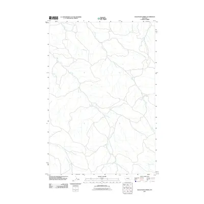
2011 Map of Wagon Box Spring
USGS Topo · Published 2011About this map
Wagon Box Spring names a landscape defined by its vital water sources in this high-plains region of Yellowstone County. The drainage network is clearly delineated, showing the intricate paths of Kaiser Creek, Sand Creek, and Mill Creek as they carve through the Montana terrain. These named water features, including Lost Boy Creek and Chimney Creek in the south, represent the primary landmarks for local navigation and land use in an area where seasonal flows and permanent springs dictated the patterns of ranching and settlement. The distribution of these drainages highlights the underlying topography of the quadrangle, illustrating how early Montana life was oriented around the availability of water in a semi-arid environment.
Find a feature on this map
6 named features on this map. Tap any name to fly to it.
Don’t see what you’re looking for? This feature index may not catch every label — zoom into the map to look around manually.
Map Details
Editions of this 2011 Wagon Box Spring Map
This is the sole edition of this map. No revisions or reprints were ever made.
Other maps of this area

1894 · Fort Custer
USGS Topo · 1:125,000

1954 · Hardin
USGS Topo · 1:250,000

1954 · Forsyth
USGS Topo · 1:250,000

1957 · Hardin
USGS Topo · 1:250,000

1957 · Forsyth
USGS Topo · 1:250,000

1958 · Forsyth
USGS Topo · 1:250,000

1958 · Hardin
USGS Topo · 1:250,000

1960 · Chimney Creek
USGS Topo · 1:24,000
1960 · Lemon Ranch
USGS Topo · 1:24,000

1960 · Waco
USGS Topo · 1:24,000