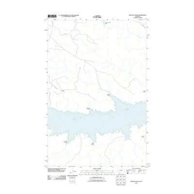
2011 Map of Wagon Coulee
USGS Topo · Published 2011About this map
Fort Peck Lake dominates the southern landscape of this Valley County region, where the Missouri River's impoundment creates a complex, branching shoreline. The terrain is defined by a series of deep drainages or coulees that carve through the high plains toward the water, including Wagon Coulee, Irishman Coulee, and Widow Coulee. These geographical features provide a window into the land use patterns of northeastern Montana, where ranching operations like the Faranuf Ranch maintain a presence amidst the vast open spaces. Small-scale water management is evident at the Carpenter Creek Dam on Carpenter Creek, while the northern portion of the map is marked by the prominence of Harper Ridge and the distinct landmark of Round Butte. The road network, including Burke Ranch Rd and Harper Ridge Rd, follows the natural contours of the ridges and coulees, illustrating the relationship between the physical landscape and local transportation routes.
Find a feature on this map
15 named features on this map. Tap any name to fly to it.
Don’t see what you’re looking for? This feature index may not catch every label — zoom into the map to look around manually.
Map Details
Editions of this 2011 Wagon Coulee Map
This is the sole edition of this map. No revisions or reprints were ever made.
Other maps of this area

1954 · Jordan
USGS Topo · 1:250,000

1956 · Jordan
USGS Topo · 1:250,000

1958 · Jordan
USGS Topo · 1:250,000

1964 · Jordan
USGS Topo · 1:250,000

1971 · Hell Hollow
USGS Topo · 1:24,000

1971 · Trumbo Ranch
USGS Topo · 1:24,000

1971 · Wolfe Coulee
USGS Topo · 1:24,000

1971 · Wagon Coulee
USGS Topo · 1:24,000

1971 · Harper Camp
USGS Topo · 1:24,000

1971 · Chalk Butte
USGS Topo · 1:24,000