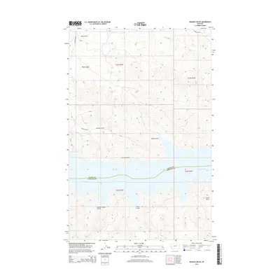
2014 Map of Wagon Coulee
USGS Topo · Published 2014About this map
The Missouri River snakes across this landscape on the border of Valley and Garfield Counties, where the vast waters of Fort Peck Lake meet a complex network of dry drainage channels. The area is defined by its dramatic relief, where features like Wagon Coulee and Irishman Coulee carve deep paths through the high plains toward the river bottom. To the southeast, Round Butte serves as a prominent navigational landmark rising above the surrounding breaks.
Find a feature on this map
19 named features on this map. Tap any name to fly to it.
Don’t see what you’re looking for? This feature index may not catch every label — zoom into the map to look around manually.
Map Details
Editions of this 2014 Wagon Coulee Map
This is the sole edition of this map. No revisions or reprints were ever made.
Other maps of this area

1954 · Jordan
USGS Topo · 1:250,000

1956 · Jordan
USGS Topo · 1:250,000

1958 · Jordan
USGS Topo · 1:250,000

1964 · Jordan
USGS Topo · 1:250,000

1971 · Hell Hollow
USGS Topo · 1:24,000

1971 · Trumbo Ranch
USGS Topo · 1:24,000

1971 · Wolfe Coulee
USGS Topo · 1:24,000

1971 · Wagon Coulee
USGS Topo · 1:24,000

1971 · Harper Camp
USGS Topo · 1:24,000

1971 · Chalk Butte
USGS Topo · 1:24,000