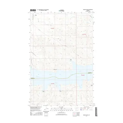
2017 Map of Wagon Coulee
USGS Topo · Published 2017About this map
Fort Peck Lake and the Missouri River dominate the southern half of this landscape, marking the boundary between Valley and Garfield Counties. The terrain is characterized by a series of deep drainages feeding toward the lake, including Irishman Coulee, Wagon Coulee, and Widow Coulee. These features illustrate the complex hydrology and erosion patterns typical of the region's breaks. To the south, the isolated peak of Round Butte serves as a prominent landmark above the surrounding coulees. The northern portion is accessed via several designated routes like Harper Ridge Rd and various Forest Development Roads, reflecting the area's management within public lands and its role in grazing or recreation along the northern shores of the reservoir.
Find a feature on this map
21 named features on this map. Tap any name to fly to it.
Don’t see what you’re looking for? This feature index may not catch every label — zoom into the map to look around manually.
Map Details
Editions of this 2017 Wagon Coulee Map
This is the sole edition of this map. No revisions or reprints were ever made.
Other maps of this area

1954 · Jordan
USGS Topo · 1:250,000

1956 · Jordan
USGS Topo · 1:250,000

1958 · Jordan
USGS Topo · 1:250,000

1964 · Jordan
USGS Topo · 1:250,000

1971 · Hell Hollow
USGS Topo · 1:24,000

1971 · Trumbo Ranch
USGS Topo · 1:24,000

1971 · Wolfe Coulee
USGS Topo · 1:24,000

1971 · Wagon Coulee
USGS Topo · 1:24,000

1971 · Harper Camp
USGS Topo · 1:24,000

1971 · Chalk Butte
USGS Topo · 1:24,000