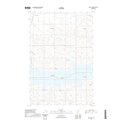
2020 Map of Wagon Coulee
USGS Topo · Published 2020About this map
Fort Peck Lake dominates the central portion of this landscape, defining the jagged border between Valley and Garfield Counties. This modern topographic study reveals a remote and dissected terrain where numerous drainage channels, or coulees, carve through the high plains toward the massive reservoir. Named features like Wagon Coulee, Irishman Coulee, and Widow Coulee suggest a history of early ranching and travel through these breaks. To the north, access is provided by primitive routes such as CMR 508 and Natl Forest Develop Road 213 Rd, which wind around the upland plateaus. The presence of Round Butte in the southeast serves as a prominent navigational landmark in an area otherwise characterized by deep draws and the remote 22N35E04DCC_01 Spring.
Find a feature on this map
21 named features on this map. Tap any name to fly to it.
Don’t see what you’re looking for? This feature index may not catch every label — zoom into the map to look around manually.
Map Details
Editions of this 2020 Wagon Coulee Map
This is the sole edition of this map. No revisions or reprints were ever made.
Other maps of this area

1954 · Jordan
USGS Topo · 1:250,000

1956 · Jordan
USGS Topo · 1:250,000

1958 · Jordan
USGS Topo · 1:250,000

1964 · Jordan
USGS Topo · 1:250,000

1971 · Hell Hollow
USGS Topo · 1:24,000

1971 · Trumbo Ranch
USGS Topo · 1:24,000

1971 · Wolfe Coulee
USGS Topo · 1:24,000

1971 · Wagon Coulee
USGS Topo · 1:24,000

1971 · Harper Camp
USGS Topo · 1:24,000

1971 · Chalk Butte
USGS Topo · 1:24,000