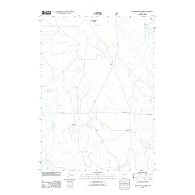
2012 Map of Wagonhound Creek
USGS Topo · Published 2012About this map
Underwood Crossing serves as a central landmark in this high plains landscape, situated where the Cheyenne River winds through Converse County. This 2012 survey documents a ranching-heavy geography defined by sprawling family operations such as the Irene Ranch, Nachtman Ranch, and Saddler Ranch. The drainage network is complex, featuring Horse Cr, Sheep Cr, and the eponymous Wagonhound Cr, which cut through various topographical depressions like Rattlesnake Draw and Good Draw.
Find a feature on this map
16 named features on this map. Tap any name to fly to it.
Don’t see what you’re looking for? This feature index may not catch every label — zoom into the map to look around manually.
Map Details
Editions of this 2012 Wagonhound Creek Map
This is the sole edition of this map. No revisions or reprints were ever made.
Other maps of this area

1955 · Newcastle
USGS Topo · 1:250,000

1958 · Newcastle
USGS Topo · 1:250,000

1971 · Fiddleback Ranch
USGS Topo · 1:24,000

1971 · Esau Spring
USGS Topo · 1:24,000

1971 · Piney Canyon SE
USGS Topo · 1:24,000

1974 · Reno Junction
USGS Topo · 1:100,000

1979 · Newcastle
USGS Topo · 1:100,000

1979 · Bill
USGS Topo · 1:100,000

1981 · Calf Draw
USGS Topo · 1:24,000
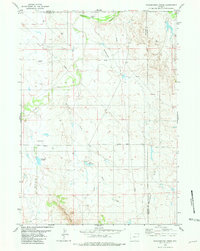
1981 · Wagonhound Creek
USGS Topo · 1:24,000