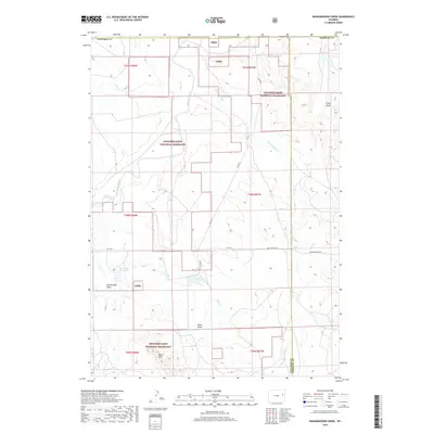
2018 Map of Wagonhound Creek
USGS Topo · Published 2018About this map
Thunder Basin National Grassland dominates this high plains landscape along the border of Converse and Niobrara counties. The topography is defined by the complex drainage systems of the Cheyenne River and Wagonhound Creek, which flow through a network of named draws and hills. Land use in this arid region is reflected in the numerous reservoirs and catchments, such as Nachtman Reservoir and Dull Reservoir, critical for supporting local livestock and wildlife.
Find a feature on this map
26 named features on this map. Tap any name to fly to it.
Don’t see what you’re looking for? This feature index may not catch every label — zoom into the map to look around manually.
Map Details
Editions of this 2018 Wagonhound Creek Map
This is the sole edition of this map. No revisions or reprints were ever made.
Other maps of this area

1955 · Newcastle
USGS Topo · 1:250,000

1958 · Newcastle
USGS Topo · 1:250,000

1971 · Fiddleback Ranch
USGS Topo · 1:24,000

1971 · Esau Spring
USGS Topo · 1:24,000

1971 · Piney Canyon SE
USGS Topo · 1:24,000

1974 · Reno Junction
USGS Topo · 1:100,000

1979 · Newcastle
USGS Topo · 1:100,000

1979 · Bill
USGS Topo · 1:100,000

1981 · Calf Draw
USGS Topo · 1:24,000
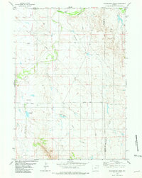
1981 · Wagonhound Creek
USGS Topo · 1:24,000