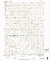
1969 Map of Wahoo SE
USGS Topo · Published 1971About this map
The border between Saunders Co and Lancaster Co divides this rural Nebraska landscape, where the agricultural sections of Richland, Green, and Mill meet the headwaters of Rock Creek. Mapping performed in the late 1960s captures a community defined by its township grid and watercourses, with the Chicago and North Western railway cutting across the northwest corner. The map reveals a dense network of local institutions essential to early prairie life, including School No 102 and School No 52, which served dispersed farmsteads.
Find a feature on this map
20 named features on this map. Tap any name to fly to it.
Don’t see what you’re looking for? This feature index may not catch every label — zoom into the map to look around manually.
Map Details
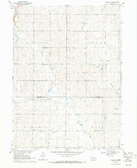
Editions of this 1969 Wahoo SE Map
2 editions found
Other maps of this area

1893 · Fremont
USGS Topo · 1:125,000

1896 · Fremont
USGS Topo · 1:125,000

1897 · Lincoln
USGS Topo · 1:125,000

1899 · Wahoo
USGS Topo · 1:125,000

1903 · Weeping Water
USGS Topo · 1:125,000

1929 · Weeping Water
USGS Topo · 1:125,000

1955 · Fremont
USGS Topo · 1:250,000

1955 · Lincoln
USGS Topo · 1:250,000

1957 · Fremont
USGS Topo · 1:250,000

1957 · Lincoln
USGS Topo · 1:250,000