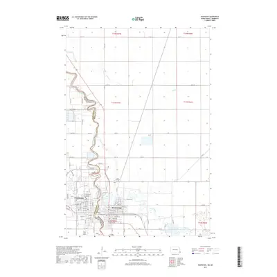
2017 Map of Wahpeton
USGS Topo · Published 2017About this map
Wahpeton and Breckenridge stand as sister cities divided by the meandering Red River of the North, which serves as the boundary between North Dakota and Minnesota. This 2017 survey shows the dense street grid of both communities, including the North Dakota State Coll of Science campus in Wahpeton and the converging waters of the Otter Tail River and the Red River. The landscape beyond the urban centers is defined by a strictly surveyed grid of section lines and rural routes like Co RD 18 and 320th ST.
Find a feature on this map
54 named features on this map. Tap any name to fly to it.
Don’t see what you’re looking for? This feature index may not catch every label — zoom into the map to look around manually.
Map Details
Editions of this 2017 Wahpeton Map
This is the sole edition of this map. No revisions or reprints were ever made.
Other maps of this area

1904 · Wahpeton
USGS Topo · 1:125,000

1919 · Rothsay
USGS Topo · 1:62,500

1951 · Rothsay
USGS Topo · 1:62,500

1951 · Campbell
USGS Topo · 1:62,500

1953 · Fargo
USGS Topo · 1:250,000

1956 · Fargo
USGS Topo · 1:250,000

1964 · Fairmount NW
USGS Topo · 1:24,000

1964 · Dwight
USGS Topo · 1:24,000

1964 · Wahpeton
USGS Topo · 1:24,000
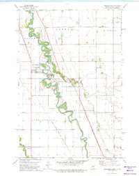
1973 · Abercrombie
USGS Topo · 1:24,000