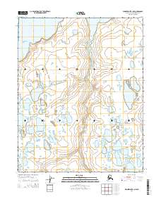
2014 Map of Wainwright B-1 NW
USGS Topo · Published 2014About this map
The Mikigealiak River serpentines through this coastal tundra landscape on the North Slope, revealing a complex hydrological network of thaw lakes and ponds typical of the Arctic coastal plain. In the northern reaches of the sheet, the Kungok River flows toward the coast, while the eastern edge is defined by the headwaters of Maguriak Cr. The land is organized by the Public Land Survey System, spanning township boundaries like t13n r30w and t12n r29w. This 2014 representation of the Wainwright B-1 NW quadrangle captures the intricate drainage patterns and low-relief elevation changes of this remote region, offering a precise look at the shifting waterways that define life and movement in the Alaskan Arctic.
Find a feature on this map
7 named features on this map. Tap any name to fly to it.
Don’t see what you’re looking for? This feature index may not catch every label — zoom into the map to look around manually.
Map Details
Editions of this 2014 Wainwright B-1 NW Map
This is the sole edition of this map. No revisions or reprints were ever made.
Other maps of this area

1951 · Wainwright
USGS Topo · 1:250,000

1955 · Wainwright
USGS Topo · 1:250,000

1955 · Wainwright B-1
USGS Topo · 1:63,360

1955 · Wainwright C-1
USGS Topo · 1:63,360
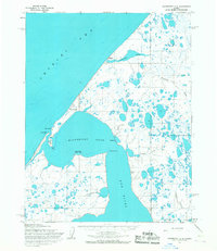
1955 · Wainwright C-2
USGS Topo · 1:63,360
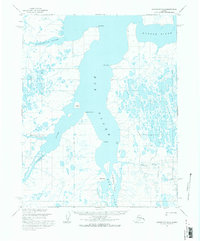
1955 · Wainwright B-2
USGS Topo · 1:63,360

1964 · Wainwright
USGS Topo · 1:250,000
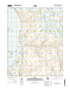
2014 · Wainwright B-2 SE
USGS Topo · 1:25,000
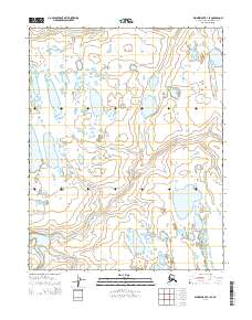
2014 · Wainwright C-1 SE
USGS Topo · 1:25,000
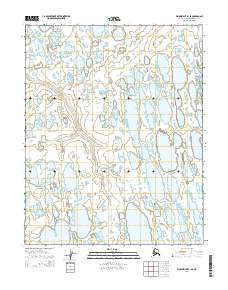
2014 · Wainwright B-1 SE
USGS Topo · 1:25,000