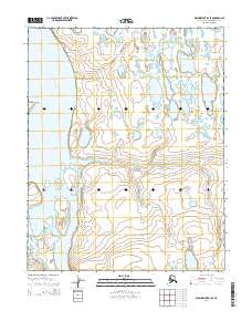
2014 Map of Wainwright B-2 SE
USGS Topo · Published 2014About this map
Kuk River dominates this Arctic landscape on the North Slope, where the water system branches into a network of braided channels and coastal tributaries. The 2014 survey reveals the hydrological complexity of the region, specifically around Kikikausgrua Island, which sits at a significant bend in the river. Moving inland to the east, the Omalik River winds through the tundra, while Ikpitchuak Cr defines the drainage to the south. Landforms like Keo Point and Puknikruk serve as distinct markers in a terrain characterized by numerous thermokarst lakes and a high-latitude wetland environment. The map provides a precise view of these remote features as they were documented in the early 21st century, showing the intricate relationship between the rivers and the surrounding permafrost-influenced topography.
Find a feature on this map
15 named features on this map. Tap any name to fly to it.
Don’t see what you’re looking for? This feature index may not catch every label — zoom into the map to look around manually.
Map Details
Editions of this 2014 Wainwright B-2 SE Map
This is the sole edition of this map. No revisions or reprints were ever made.
Other maps of this area

1951 · Wainwright
USGS Topo · 1:250,000

1955 · Wainwright
USGS Topo · 1:250,000

1955 · Wainwright A-2
USGS Topo · 1:63,360

1955 · Wainwright B-1
USGS Topo · 1:63,360
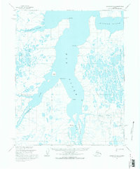
1955 · Wainwright B-2
USGS Topo · 1:63,360
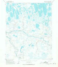
1955 · Wainwright A-1
USGS Topo · 1:63,360

1964 · Wainwright
USGS Topo · 1:250,000
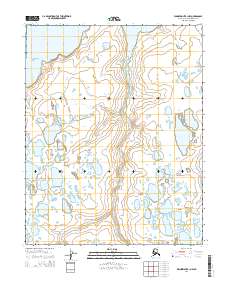
2014 · Wainwright B-1 NW
USGS Topo · 1:25,000
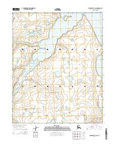
2014 · Wainwright B-2 SW
USGS Topo · 1:25,000
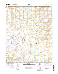
2014 · Wainwright A-2 NW
USGS Topo · 1:25,000