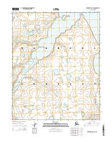
2014 Map of Wainwright B-2 SW
USGS Topo · Published 2014About this map
The Ivisaruk River and Kuk River dominate this coastal landscape on the North Slope, where the arctic tundra meets a complex network of tidal estuaries. The terrain is characterized by a high concentration of thaw lakes and wetlands typical of this permafrost-rich region, with Kupluruak Point serving as a distinct landmark along the northern shoreline. Smaller tributaries like Apikuguruak Cr and Ikpitcheak Cr drain the low-lying interior, illustrating the intricate hydrology of the area before modern infrastructure arrived. This 2014 survey documents the seasonal waterways that have long dictated the movement of indigenous populations and local wildlife across the vast Arctic coastal plain.
Find a feature on this map
11 named features on this map. Tap any name to fly to it.
Don’t see what you’re looking for? This feature index may not catch every label — zoom into the map to look around manually.
Map Details
Editions of this 2014 Wainwright B-2 SW Map
This is the sole edition of this map. No revisions or reprints were ever made.
Other maps of this area

1951 · Wainwright
USGS Topo · 1:250,000

1955 · Wainwright
USGS Topo · 1:250,000

1955 · Wainwright A-2
USGS Topo · 1:63,360
1955 · Wainwright A-3
USGS Topo · 1:63,360
1955 · Wainwright B-2
USGS Topo · 1:63,360
1955 · Wainwright B-3
USGS Topo · 1:63,360

1964 · Wainwright
USGS Topo · 1:250,000
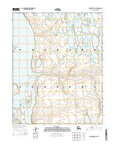
2014 · Wainwright B-2 SE
USGS Topo · 1:25,000
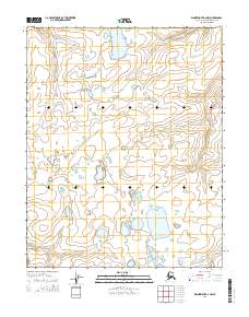
2014 · Wainwright A-2 NW
USGS Topo · 1:25,000
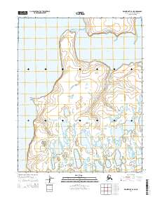
2014 · Wainwright B-2 NE
USGS Topo · 1:25,000