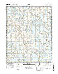
2014 Map of Wainwright B-1 SE
USGS Topo · Published 2014About this map
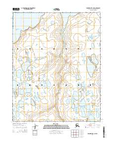
The Mikigealiak River meanders across this Arctic landscape, carving a subtle path through the water-logged terrain of the North Slope. This 2014 survey documents a characteristic pattern of thermokarst lakes and ponded water, common to the permafrost-underlain tundra. The most significant of these water bodies is Takrak Lake in the southeastern portion of the map. Surveyed by the U.S. Geological Survey, the area is subdivided by the Public Land Survey System, including portions of T12N R29W and T11N R28W. The map reflects a landscape almost entirely defined by its hydrology, where small, unnamed thaw lakes outnumber the few permanent geographic features, illustrating the shifting, saturated nature of the Alaskan coastal plain.
Find a feature on this map
8 named features on this map. Tap any name to fly to it.
Don’t see what you’re looking for? This feature index may not catch every label — zoom into the map to look around manually.
Map Details
Editions of this 2014 Wainwright B-1 SE Map
This is the sole edition of this map. No revisions or reprints were ever made.
Other maps of this area

1951 · Meade River
USGS Topo · 1:250,000

1951 · Wainwright
USGS Topo · 1:250,000

1955 · Wainwright
USGS Topo · 1:250,000

1955 · Wainwright B-1
USGS Topo · 1:63,360

1955 · Meade River
USGS Topo · 1:250,000
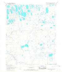
1955 · Meade River A-5
USGS Topo · 1:63,360
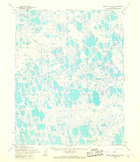
1955 · Meade River B-5
USGS Topo · 1:63,360
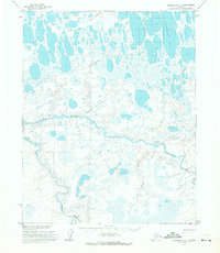
1955 · Wainwright A-1
USGS Topo · 1:63,360

1964 · Wainwright
USGS Topo · 1:250,000
2014 · Wainwright B-1 NW
USGS Topo · 1:25,000