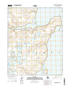
2014 Map of Wainwright B-2 NW
USGS Topo · Published 2014About this map
The Alatakrok River meanders across this Arctic coastal landscape, carving a complex network of channels and basins as it flows toward the sea. This 2014 survey documents the intricate hydrography of the North Slope, where the land and water are inextricably linked through a series of thaw lakes and braided drainage systems. Along the eastern edge of the quadrangle, the wide reaches of the Kuk River dominate the terrain, creating significant landforms like Agiak Point. Further south, the map identifies Neakok Island, a distinctive feature within the river's broad channel. The lack of built infrastructure or roads emphasizes the natural state of this tundra environment, defined primarily by its water bodies and the Public Land Survey System boundaries such as t13n r32w and t12n r32w.
Find a feature on this map
8 named features on this map. Tap any name to fly to it.
Don’t see what you’re looking for? This feature index may not catch every label — zoom into the map to look around manually.
Map Details
Editions of this 2014 Wainwright B-2 NW Map
This is the sole edition of this map. No revisions or reprints were ever made.
Other maps of this area

1951 · Wainwright
USGS Topo · 1:250,000

1955 · Wainwright
USGS Topo · 1:250,000
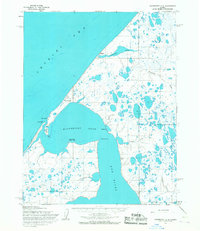
1955 · Wainwright C-2
USGS Topo · 1:63,360
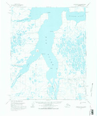
1955 · Wainwright B-2
USGS Topo · 1:63,360
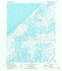
1955 · Wainwright B-3
USGS Topo · 1:63,360
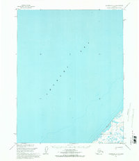
1955 · Wainwright C-3
USGS Topo · 1:63,360

1964 · Wainwright
USGS Topo · 1:250,000
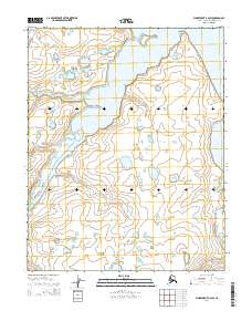
2014 · Wainwright B-2 SW
USGS Topo · 1:25,000
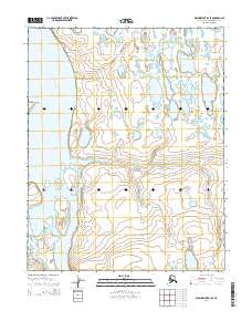
2014 · Wainwright B-2 SE
USGS Topo · 1:25,000
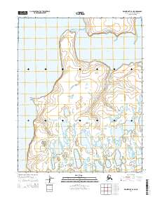
2014 · Wainwright B-2 NE
USGS Topo · 1:25,000