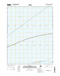
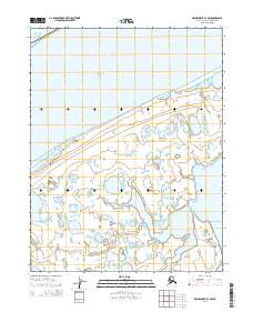
2014 Map of Wainwright D-1 NE
USGS Topo · Published 2014About this map
Peard Bay sits at the southern edge of this coastal survey, where the terrestrial expanse of the North Slope Borough meets the high latitudes of the Arctic Ocean. This map documents a sparsely featured arctic landscape dominated by the Chukchi Sea, which occupies a large portion of the northern and central sections. The transition from the sea to the land is marked by the complex shoreline around Peard Bay, showing the delicate boundary between the maritime and tundra environments. Public Land Survey System identifiers like t18n r28w and t18n r27w provide the only structural grid for a region defined by its natural coastal features rather than human settlement or infrastructure.
Find a feature on this map
7 named features on this map. Tap any name to fly to it.
Don’t see what you’re looking for? This feature index may not catch every label — zoom into the map to look around manually.
Map Details
Editions of this 2014 Wainwright D-1 NE Map
This is the sole edition of this map. No revisions or reprints were ever made.
Other maps of this area

1951 · Meade River
USGS Topo · 1:250,000

1951 · Wainwright
USGS Topo · 1:250,000

1955 · Wainwright
USGS Topo · 1:250,000

1955 · Meade River
USGS Topo · 1:250,000

1955 · Meade River D-5
USGS Topo · 1:63,360
1955 · Wainwright D-1
USGS Topo · 1:63,360
1962 · Meade River D-5
USGS Topo · 1:50,000

1964 · Wainwright
USGS Topo · 1:250,000
2014 · Meade River D-5 SW
USGS Topo · 1:25,000
2014 · Wainwright D-1 SW
USGS Topo · 1:25,000