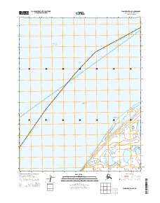
2014 Map of Wainwright D-2 SE
USGS Topo · Published 2014About this map
Chukchi Sea waters dominate this coastal landscape, meeting the shoreline at Point Belcher. As part of the Arctic Ocean basin, this Arctic maritime environment is defined by its low-lying coastal plains and the transition between the open sea and the North Slope borough. The map delineates the extensive public land survey system grid, including t17n r30w and t16n r30w, illustrating the vast, unpopulated character of the region during the early 21st century. The sparse inland features and prominent coastline reflect a landscape shaped by seasonal ice and maritime influence rather than permanent terrestrial settlement.
Find a feature on this map
8 named features on this map. Tap any name to fly to it.
Don’t see what you’re looking for? This feature index may not catch every label — zoom into the map to look around manually.
Map Details
Editions of this 2014 Wainwright D-2 SE Map
This is the sole edition of this map. No revisions or reprints were ever made.
Other maps of this area

1951 · Wainwright
USGS Topo · 1:250,000

1955 · Wainwright
USGS Topo · 1:250,000

1955 · Wainwright C-1
USGS Topo · 1:63,360
1955 · Wainwright D-2
USGS Topo · 1:63,360
1955 · Wainwright C-2
USGS Topo · 1:63,360
1955 · Wainwright D-1
USGS Topo · 1:63,360
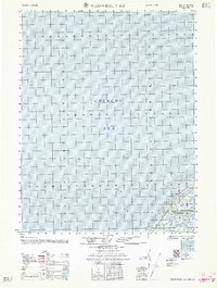
1962 · Wainwright D-2
USGS Topo · 1:50,000

1964 · Wainwright
USGS Topo · 1:250,000
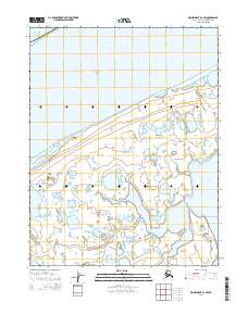
2014 · Wainwright D-1 SW
USGS Topo · 1:25,000
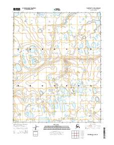
2014 · Wainwright C-1 NW
USGS Topo · 1:25,000