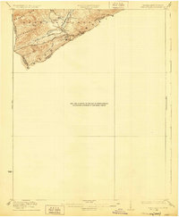
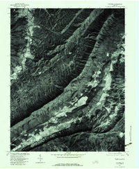
1923 Map of Waiteville
USGS Topo · Published 1929About this map
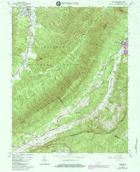
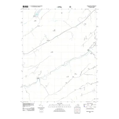
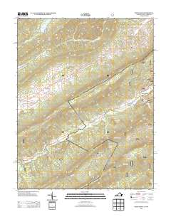
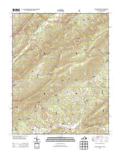
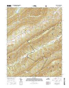
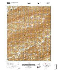
Waiteville serves as the primary focal point of this 1921 survey, situated along the Norfolk and Western Ry near the intersection of Potts Cr and Crosier Branch. This mountainous terrain at the West Virginia and Virginia border is defined by prominent ridges like Peters Mtn and Sweet Springs Mountain. The map illustrates a narrow valley corridor where settlement and rail infrastructure are squeezed between high peaks, including Arnold Knob and Fork Mountain.
Find a feature on this map
15 named features on this map. Tap any name to fly to it.
Don’t see what you’re looking for? This feature index may not catch every label — zoom into the map to look around manually.
Map Details
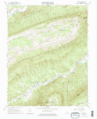
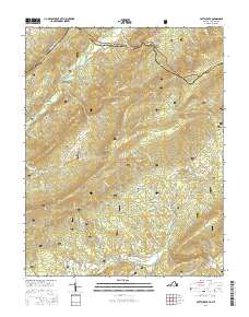
Editions of this 1923 Waiteville Map
2 editions found
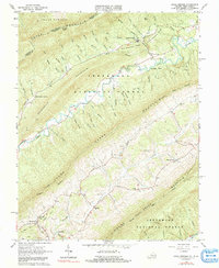
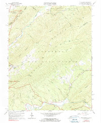
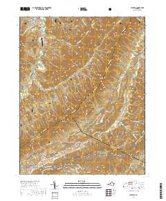
Historical Maps of Blacksburg Through Time
34 maps found
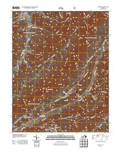
1923 Waiteville
Craig County, VA

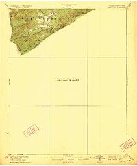
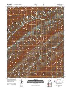
1931 Waiteville
Craig County, VA
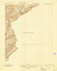
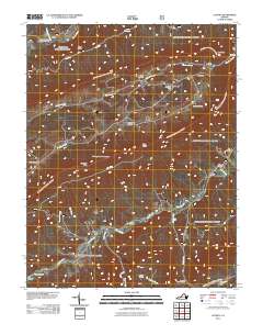
1944 Waiteville
Craig County, VA
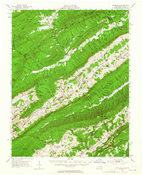
1951 Waiteville
Craig County, VA
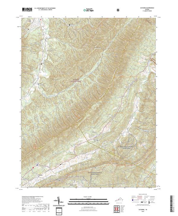
1963 Catawba
Craig County, VA
1963 Looney
Craig County, VA
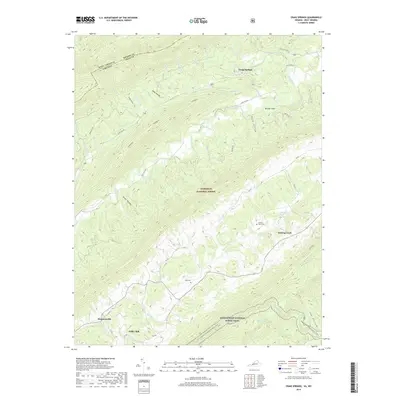
1965 Craig Springs
Craig County, VA
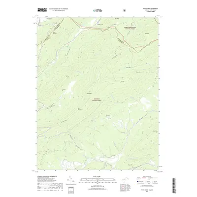
1966 Potts Creek
Craig County, VA
1977 Catawba
Craig County, VA
2011 Catawba
Craig County, VA
2011 Craig Springs
Craig County, VA
2011 Looney
Craig County, VA
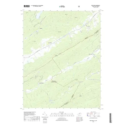
2011 Paint Bank
Craig County, VA

2011 Potts Creek
Craig County, VA
2013 Catawba
Craig County, VA
2013 Craig Springs
Craig County, VA
2013 Looney
Craig County, VA
2013 Paint Bank
Craig County, VA
2013 Potts Creek
Craig County, VA
2016 Catawba
Craig County, VA

2016 Craig Springs
Craig County, VA
2016 Looney
Craig County, VA
2016 Paint Bank
Craig County, VA
2016 Potts Creek
Craig County, VA
2019 Catawba
Craig County, VA
2019 Craig Springs
Craig County, VA
2019 Looney
Craig County, VA
2019 Paint Bank
Craig County, VA
2019 Potts Creek
Craig County, VA
2022 Catawba
Craig County, VA
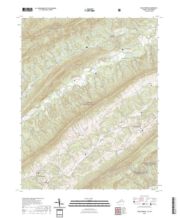
2022 Craig Springs
Craig County, VA
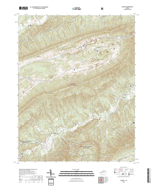
2022 Looney
Craig County, VA
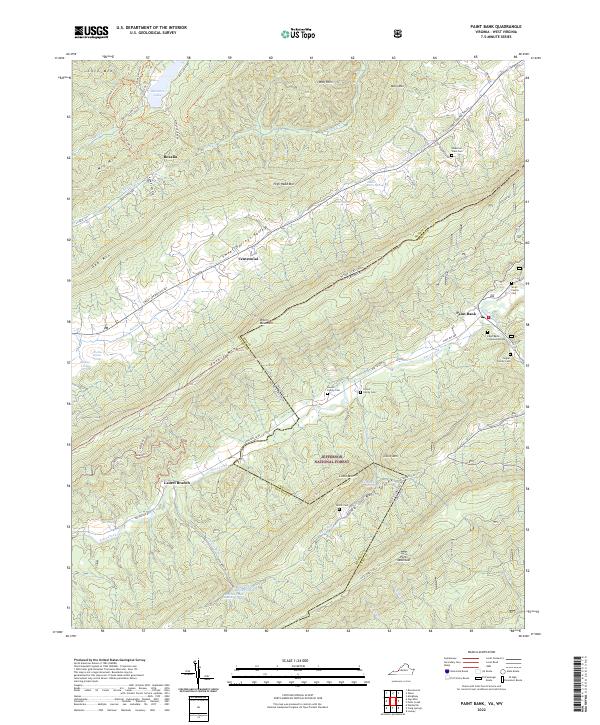
2022 Paint Bank
Craig County, VA
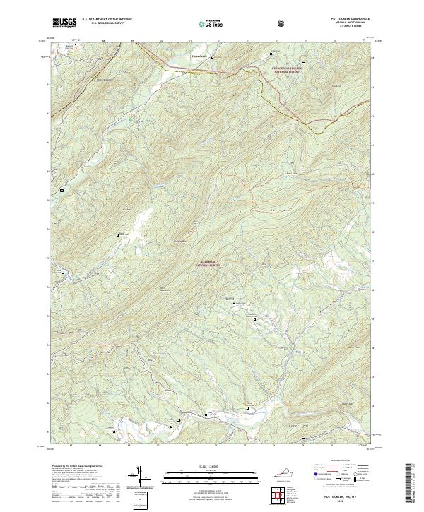
2022 Potts Creek
Craig County, VA