
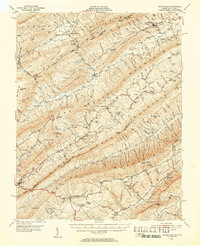
1951 Map of Waiteville
USGS Topo · Published 1953About this map
Blue Healing Springs and Craig Healing Springs anchor the northern reaches of this mid-century survey, reflecting the region's legacy of mountain mineral springs and rural retreats. The landscape is defined by the sharp parallel ridges of Peters Mtn, Sinking Creek Mountain, and Brush Mountain, which dictate the settlement patterns of the era. Small mountain communities and family-named mill sites like McDonalds Mill and Bennetts Mill follow the narrow valleys carved by Johns Creek and Sinking Creek.
Find a feature on this map
155 named features on this map. Tap any name to fly to it.
Don’t see what you’re looking for? This feature index may not catch every label — zoom into the map to look around manually.
Map Details
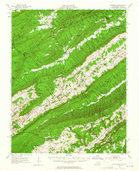
Editions of this 1951 Waiteville Map
3 editions found
Other maps of this area

1887 · Hinton
USGS Topo · 1:125,000

1887 · Lewisburg
USGS Topo · 1:125,000

1890 · Dublin
USGS Topo · 1:125,000

1890 · Christiansburg
USGS Topo · 1:125,000

1891 · Lewisburg
USGS Topo · 1:125,000

1891 · Dublin
USGS Topo · 1:125,000

1892 · Hinton
USGS Topo · 1:125,000

1921 · Alderson
USGS Topo · 1:48,000

1921 · Ronceverte
USGS Topo · 1:48,000

1923 · Ronceverte
USGS Topo · 1:62,500