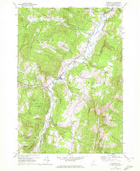
1970 Map of Waitsfield
USGS Topo · Published 1972About this map
The Mad River valley carves through the center of this landscape, anchoring a series of small settlements including Waitsfield, Irasville, and Waitsfield Common. The topography is defined by the steep rises of the Northfield Mountains to the east and the high peaks of Mt Waitsfield and Scrag Mtn, the latter featuring a prominent Lookout Tower. This 1970 field-checked survey reveals a rural Vermont community balanced between agricultural tradition and the early growth of mountain tourism, with landmarks such as a Covered Bridge and Our Lady of the Snows Ch situated along the valley floor.
Find a feature on this map
42 named features on this map. Tap any name to fly to it.
Don’t see what you’re looking for? This feature index may not catch every label — zoom into the map to look around manually.
Map Details
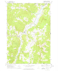
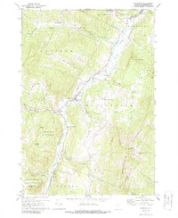
Editions of this 1970 Waitsfield Map
3 editions found
Other maps of this area

1919 · Lincoln Mountain
USGS Topo · 1:62,500

1919 · Montpelier
USGS Topo · 1:62,500

1920 · Lincoln Mountain
USGS Topo · 1:48,000

1921 · Richmond
USGS Topo · 1:48,000

1921 · Lincoln Mountain
USGS Topo · 1:62,500

1921 · Montpelier
USGS Topo · 1:62,500

1922 · Barre
USGS Topo · 1:48,000

1924 · Barre
USGS Topo · 1:62,500

1924 · Camels Hump
USGS Topo · 1:62,500

1944 · Montpelier
USGS Topo · 1:62,500