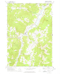
1970 Map of Waitsfield
USGS Topo · Published 1978About this map
The Mad River valley serves as the central artery for this 1970 landscape, where the agricultural and social life of Waitsfield and Fayston is clearly defined by the river’s course. The map highlights a network of small upland settlements and valley hamlets, including Waitsfield Common, Irasville, and North Fayston, connected by winding roads and several river crossings, including a Covered Bridge near the town center. Genealogists will find significant value in the distribution of family-linked burial grounds such as Wait Cem, Center Fayston Cem, and South Fayston Cem, which dot the hillsides away from the main valley floor.
Find a feature on this map
43 named features on this map. Tap any name to fly to it.
Don’t see what you’re looking for? This feature index may not catch every label — zoom into the map to look around manually.
Map Details
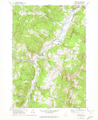
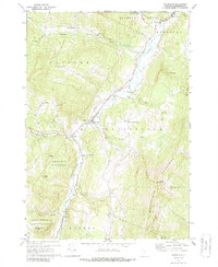
Editions of this 1970 Waitsfield Map
3 editions found
Other maps of this area

1919 · Lincoln Mountain
USGS Topo · 1:62,500

1919 · Montpelier
USGS Topo · 1:62,500

1920 · Lincoln Mountain
USGS Topo · 1:48,000

1921 · Richmond
USGS Topo · 1:48,000

1921 · Lincoln Mountain
USGS Topo · 1:62,500

1921 · Montpelier
USGS Topo · 1:62,500

1922 · Barre
USGS Topo · 1:48,000

1924 · Barre
USGS Topo · 1:62,500

1924 · Camels Hump
USGS Topo · 1:62,500

1944 · Montpelier
USGS Topo · 1:62,500