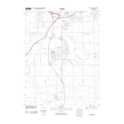
2009 Map of Wakarusa
USGS Topo · Published 2009About this map
The Wakarusa River and its varied tributaries, including Sixmile Creek and Towhead Creek, anchor the southern half of this landscape south of Topeka. This 2009 survey highlights a transition from the southern urban fringes of the state capital to the outlying rural communities of Wakarusa and Berryton. Transportation is a defining element, with the Interstate and highway networks cutting through the terrain near the Forbes Field airport complex. Genealogists will find a wealth of local landmarks, from the Berryton Post Office to numerous well-preserved burial grounds like Yocum Cemetery and Shawnee Center Cemetery. The map also captures several distinct residential areas and recreation sites, such as Cullen Village, Terra Heights, and the Forbes Public Golf Course, reflecting the suburban expansion into the river valley.
Find a feature on this map
74 named features on this map. Tap any name to fly to it.
Don’t see what you’re looking for? This feature index may not catch every label — zoom into the map to look around manually.
Map Details
Editions of this 2009 Wakarusa Map
This is the sole edition of this map. No revisions or reprints were ever made.
Other maps of this area

1889 · Burlingame
USGS Topo · 1:125,000

1889 · Topeka
USGS Topo · 1:125,000

1894 · Burlingame
USGS Topo · 1:125,000

1894 · Topeka
USGS Topo · 1:125,000

1947 · Lawrence
USGS Topo · 1:250,000

1950 · Kansas City
USGS Topo · 1:250,000

1950 · Lawrence
USGS Topo · 1:250,000

1950 · Topeka
USGS Topo · 1:24,000

1950 · Grantville
USGS Topo · 1:24,000

1951 · Grantville
USGS Topo · 1:24,000