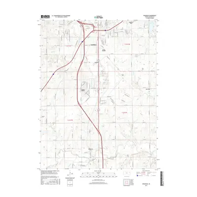
2015 Map of Wakarusa
USGS Topo · Published 2015About this map
Forbes Field serves as a prominent anchor for the southern reaches of Topeka in this 2015 study, illustrating the transition from the city's suburban fringes into the agricultural valleys of Shawnee County. The landscape is defined by the winding course of the Wakarusa River and its numerous tributaries, including Sixmile Cr and Deer Cr. The map details several distinct communities such as Pauline, Berryton, and Wakarusa, while smaller residential developments like Cullen Village and Terra Heights highlight more recent growth patterns.
Find a feature on this map
83 named features on this map. Tap any name to fly to it.
Don’t see what you’re looking for? This feature index may not catch every label — zoom into the map to look around manually.
Map Details
Editions of this 2015 Wakarusa Map
This is the sole edition of this map. No revisions or reprints were ever made.
Other maps of this area

1889 · Burlingame
USGS Topo · 1:125,000

1889 · Topeka
USGS Topo · 1:125,000

1894 · Burlingame
USGS Topo · 1:125,000

1894 · Topeka
USGS Topo · 1:125,000

1947 · Lawrence
USGS Topo · 1:250,000

1950 · Kansas City
USGS Topo · 1:250,000

1950 · Lawrence
USGS Topo · 1:250,000

1950 · Topeka
USGS Topo · 1:24,000

1950 · Grantville
USGS Topo · 1:24,000

1951 · Grantville
USGS Topo · 1:24,000