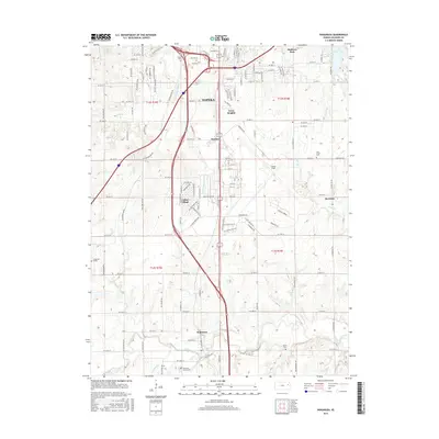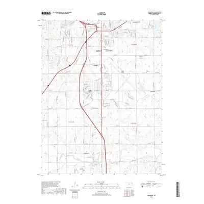
2022 Map of Wakarusa
USGS Topo · Published 2022About this map
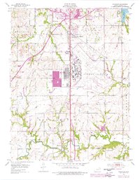
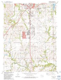
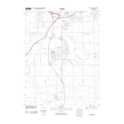
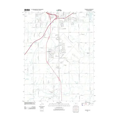
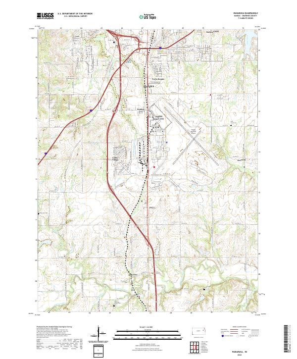
Wakarusa and the southern outskirts of Topeka are defined by the convergence of several small waterways and a sprawling transportation network. The southern half of the map is dominated by the winding course of the Wakarusa River, which is fed by tributaries like Towhead Cr, Sixmile Cr, and Burys Cr. This area maintains a more rural character, marked by a high density of small family or community burial grounds including Shawnee Center Cem, Yocum Cem, and Simerwell Cem, reflecting the early settlement patterns of Shawnee County.
Find a feature on this map
71 named features on this map. Tap any name to fly to it.
Don’t see what you’re looking for? This feature index may not catch every label — zoom into the map to look around manually.
Map Details
Editions of this 2022 Wakarusa Map
This is the sole edition of this map. No revisions or reprints were ever made.
Historical Maps of Topeka Through Time
7 maps found