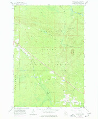
1955 Map of Wakefield NE
USGS Topo · Published 1977About this map
Ottawa National Forest dominates the topography of this Upper Peninsula survey, where the rugged landscape is defined by the headwaters of the Presque Isle River and its numerous tributaries. The industrial footprint of the mid-20th century is evident in the path of the Chicago and North Western railroad, which cuts a straight line southeast through the timbered terrain. Small settlements like Hartley and Dunham are situated along this corridor, serving as points of human activity within the dense forest.
Find a feature on this map
19 named features on this map. Tap any name to fly to it.
Don’t see what you’re looking for? This feature index may not catch every label — zoom into the map to look around manually.
Map Details
Editions of this 1955 Wakefield NE Map
2 editions found
Other maps of this area

1955 · Marenisco
USGS Topo · 1:62,500

1955 · Marenisco
USGS Topo · 1:24,000

1955 · Wakefield
USGS Topo · 1:24,000

1955 · Wakefield
USGS Topo · 1:62,500

1955 · Wakefield NE
USGS Topo · 1:24,000

1956 · Bergland
USGS Topo · 1:62,500

1956 · Thomaston
USGS Topo · 1:62,500

1958 · Iron River
USGS Topo · 1:250,000

1960 · Iron River
USGS Topo · 1:250,000

1961 · Iron River
USGS Topo · 1:250,000