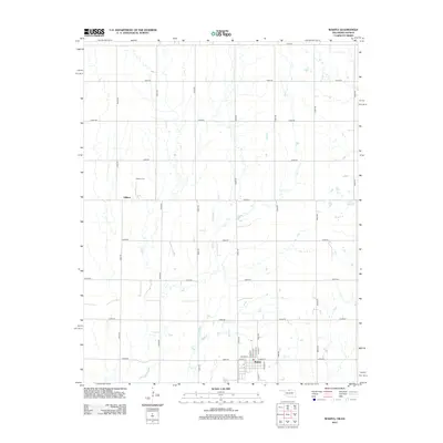
2012 Map of Wakita
USGS Topo · Published 2012About this map
Wakita serves as the primary hub of this northern Oklahoma agricultural landscape, with a clearly defined street grid featuring thoroughfares such as W Main St, E Main St, and N Oak St. The surrounding terrain in Grant County is dominated by the section-line road system, forming a vast lattice that supports the region's wheat and cattle farms. The small community of Gibbon is situated to the northwest, accompanied by the Gibbon Cem, a vital site for local genealogical research. The subtle drainage of Duel Cr meanders across the southern plains, providing a rare natural break in the geometric regularity of the county's township-and-range layout. This 2012 survey documents the enduring spatial organization of these prairie settlements a century after their founding.
Find a feature on this map
30 named features on this map. Tap any name to fly to it.
Don’t see what you’re looking for? This feature index may not catch every label — zoom into the map to look around manually.
Map Details
Editions of this 2012 Wakita Map
This is the sole edition of this map. No revisions or reprints were ever made.
Other maps of this area

1889 · Anthony
USGS Topo · 1:125,000

1889 · Caldwell
USGS Topo · 1:125,000

1891 · Anthony
USGS Topo · 1:125,000

1893 · Caldwell
USGS Topo · 1:125,000

1897 · Caldwell
USGS Topo · 1:125,000

1955 · Wichita
USGS Topo · 1:250,000

1955 · Enid
USGS Topo · 1:250,000

1955 · Woodward
USGS Topo · 1:250,000

1955 · Pratt
USGS Topo · 1:250,000

1958 · Enid
USGS Topo · 1:250,000