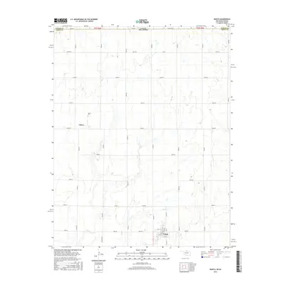
2016 Map of Wakita
USGS Topo · Published 2016About this map
Wakita sits at the southern edge of this Oklahoma survey, its street grid defined by names like Pawnee St, Apache St, and Oak St. The landscape transitions northward toward the Kansas border, following a rigid section-line road network that includes State Line Rd and Jefferson Rd. This agricultural territory is bisected by the meandering path of Duel Cr, which provides the primary drainage for the surrounding plains. To the northwest, the small settlement of Gibbon and the nearby Gibbon Cem offer specific points of interest for genealogists tracing family roots in Grant County. The map also identifies local landmarks such as Laitmer and Kiowa Rd, reflecting the enduring rural character of this borderland region where the southern plains meet the Kansas state line.
Find a feature on this map
38 named features on this map. Tap any name to fly to it.
Don’t see what you’re looking for? This feature index may not catch every label — zoom into the map to look around manually.
Map Details
Editions of this 2016 Wakita Map
This is the sole edition of this map. No revisions or reprints were ever made.
Other maps of this area

1889 · Anthony
USGS Topo · 1:125,000

1889 · Caldwell
USGS Topo · 1:125,000

1891 · Anthony
USGS Topo · 1:125,000

1893 · Caldwell
USGS Topo · 1:125,000

1897 · Caldwell
USGS Topo · 1:125,000

1955 · Wichita
USGS Topo · 1:250,000

1955 · Enid
USGS Topo · 1:250,000

1955 · Woodward
USGS Topo · 1:250,000

1955 · Pratt
USGS Topo · 1:250,000

1958 · Enid
USGS Topo · 1:250,000