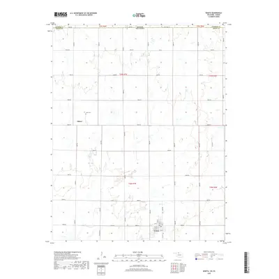
2018 Map of Wakita
USGS Topo · Published 2018About this map
The town of Wakita anchors the southern portion of this northern Oklahoma landscape, where the street grid is clearly defined by local thoroughfares such as Elm St, Maple St, and Pawnee St. Located just south of the Kansas border, the area reflects a rigid township and range system, with gravel and paved roads like Kiowa Rd and State Line Rd following section lines across the prairie. North of the main settlement lies Gibbon, a smaller community node identified by its proximity to the Gibbon Cem. The drainage of Duel Cr provides the primary topographic relief in an otherwise strictly organized agricultural environment. The presence of named rural corridors such as Osage and Laitmer suggests the persistent importance of local land access and historical transport routes in this borderland region of Grant County.
Find a feature on this map
44 named features on this map. Tap any name to fly to it.
Don’t see what you’re looking for? This feature index may not catch every label — zoom into the map to look around manually.
Map Details
Editions of this 2018 Wakita Map
This is the sole edition of this map. No revisions or reprints were ever made.
Other maps of this area

1889 · Anthony
USGS Topo · 1:125,000

1889 · Caldwell
USGS Topo · 1:125,000

1891 · Anthony
USGS Topo · 1:125,000

1893 · Caldwell
USGS Topo · 1:125,000

1897 · Caldwell
USGS Topo · 1:125,000

1955 · Wichita
USGS Topo · 1:250,000

1955 · Enid
USGS Topo · 1:250,000

1955 · Woodward
USGS Topo · 1:250,000

1955 · Pratt
USGS Topo · 1:250,000

1958 · Enid
USGS Topo · 1:250,000