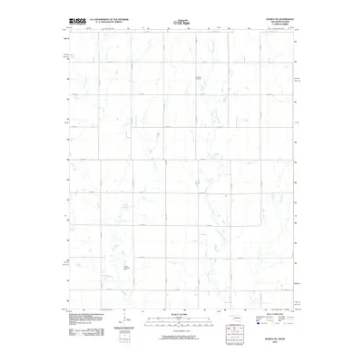
2010 Map of Wakita NE
USGS Topo · Published 2010About this map
Osage Creek and Pond Creek wind across this agricultural landscape along the border of Oklahoma and Kansas during the early 21st century. The terrain is defined by a dense grid of section roads, such as E0050 Rd and N2920 Rd, reflecting the systematic land division of the Great Plains. The Springdale Cemetery serves as a primary genealogical landmark for the surrounding rural community, situated amidst the fields. Industrial activity in the region is evidenced by the Wakita Trend Gas Field, which spans the southwestern portion of the map. This survey by the U.S. Geological Survey captures the transition between the two states, where Wakita Rd and W 200th St S mark the local transportation network connecting isolated farmsteads and energy extraction sites.
Find a feature on this map
22 named features on this map. Tap any name to fly to it.
Don’t see what you’re looking for? This feature index may not catch every label — zoom into the map to look around manually.
Map Details
Editions of this 2010 Wakita NE Map
This is the sole edition of this map. No revisions or reprints were ever made.
Other maps of this area

1889 · Caldwell
USGS Topo · 1:125,000

1893 · Caldwell
USGS Topo · 1:125,000

1897 · Caldwell
USGS Topo · 1:125,000

1955 · Wichita
USGS Topo · 1:250,000

1955 · Enid
USGS Topo · 1:250,000

1958 · Enid
USGS Topo · 1:250,000

1958 · Wichita
USGS Topo · 1:250,000

1968 · Wakita
USGS Topo · 1:24,000

1968 · Wakita SE
USGS Topo · 1:24,000

1968 · Renfrow
USGS Topo · 1:24,000