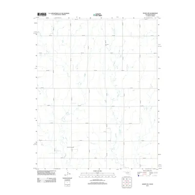
2012 Map of Wakita NE
USGS Topo · Published 2012About this map
Agricultural patterns and energy extraction intersect on this section of the Kansas-Oklahoma border, defined by the extensive section-line road network that segments the prairie. The landscape is primarily drained by Pond Cr and Osage Cr, which meander through the terrain. A notable industrial presence is established by the Wakita Trend Gas Field, showing the area's role in regional gas production during the early 21st century. For those researching local history or genealogy, the Springdale Cem serves as a significant landmark in the northern portion of the map, situated among a grid of rural routes including e0020 RD and n2920 RD.
Find a feature on this map
21 named features on this map. Tap any name to fly to it.
Don’t see what you’re looking for? This feature index may not catch every label — zoom into the map to look around manually.
Map Details
Editions of this 2012 Wakita NE Map
This is the sole edition of this map. No revisions or reprints were ever made.
Other maps of this area

1889 · Caldwell
USGS Topo · 1:125,000

1893 · Caldwell
USGS Topo · 1:125,000

1897 · Caldwell
USGS Topo · 1:125,000

1955 · Wichita
USGS Topo · 1:250,000

1955 · Enid
USGS Topo · 1:250,000

1958 · Enid
USGS Topo · 1:250,000

1958 · Wichita
USGS Topo · 1:250,000

1968 · Wakita
USGS Topo · 1:24,000

1968 · Wakita SE
USGS Topo · 1:24,000

1968 · Renfrow
USGS Topo · 1:24,000