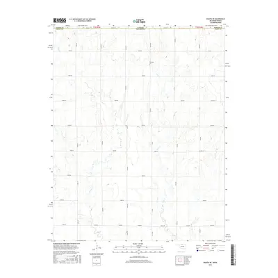
2016 Map of Wakita NE
USGS Topo · Published 2016About this map
The borderlands between Kansas and Oklahoma come into focus in this 2016 survey, centered on the intersection of Stateline Rd and the northern reaches of Sumner and Grant counties. This prairie landscape is defined by the winding drainages of Osage Cr and Pond Cr, which carve subtle topography through the expansive grid of section roads. The map reveals a sparsely populated agricultural region where local history is anchored by the Springdale Cem and a network of arterial routes such as Renfrow Rd and Wakita Rd. Named for local families and landmarks, roads like McClain Rd, Noble Rd, and Kiowa Rd trace the settlement patterns and property lines established generations ago. This cartography serves as a precise guide for those tracing family roots in this rural corridor, illustrating the persistent structure of the land even as small-town density shifted elsewhere.
Find a feature on this map
34 named features on this map. Tap any name to fly to it.
Don’t see what you’re looking for? This feature index may not catch every label — zoom into the map to look around manually.
Map Details
Editions of this 2016 Wakita NE Map
This is the sole edition of this map. No revisions or reprints were ever made.
Other maps of this area

1889 · Caldwell
USGS Topo · 1:125,000

1893 · Caldwell
USGS Topo · 1:125,000

1897 · Caldwell
USGS Topo · 1:125,000

1955 · Wichita
USGS Topo · 1:250,000

1955 · Enid
USGS Topo · 1:250,000

1958 · Enid
USGS Topo · 1:250,000

1958 · Wichita
USGS Topo · 1:250,000

1968 · Wakita
USGS Topo · 1:24,000

1968 · Wakita SE
USGS Topo · 1:24,000

1968 · Renfrow
USGS Topo · 1:24,000